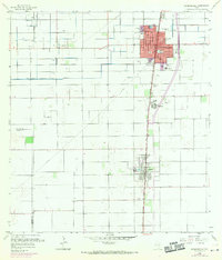
1956 Map of Raymondville
USGS Topo · Published 1970About this map
Raymondville stands as a hub of the Rio Grande Valley in this mid-century survey, revealing the structured irrigation and transportation networks of Willacy County. The Missouri Pacific railroad corridor anchors the primary settlements, with Lyford appearing to the south. The landscape is defined by extensive water management features, including the Main Branch Northeast Canal (Elevated) and the West Main Drain, which supported the region's agricultural expansion. Local history is preserved through the mapping of the La Piedad Cementerio Numero Uno and La Piedad Cementerio Numero Dos, alongside several educational institutions such as Travis Sch and Northward Sch. Aerial photographic updates from 1970 illustrate the gradual growth of the urban grid, including the presence of the Fox Airport and the Raymondville Country Club.
Find a feature on this map
30 named features on this map. Tap any name to fly to it.
Don’t see what you’re looking for? This feature index may not catch every label — zoom into the map to look around manually.
Map Details
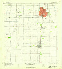
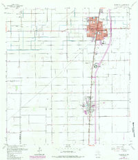
Editions of this 1956 Raymondville Map
3 editions found
Other maps of this area

1921 · Tarida Ranch
USGS Topo · 1:62,500

1922 · La Sal Vieja
USGS Topo · 1:62,500

1929 · Santa Rosa
USGS Topo · 1:24,000

1932 · Combes
USGS Topo · 1:31,680

1933 · Santa Rosa
USGS Topo · 1:31,680

1953 · Brownsville
USGS Topo · 1:250,000

1956 · San Perlita South
USGS Topo · 1:24,000

1956 · La Sal Vieja
USGS Topo · 1:24,000

1956 · San Perlita North
USGS Topo · 1:24,000

1956 · Santa Rosa
USGS Topo · 1:24,000
Featured Places
- Raymondville, TX
- Lyford, TX
- Ranchette Estates Colonia, TX
- Raymondville Tract Number 1 Colonia, TX
- Sandy Colonia, TX