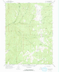
1967 Map of Rays Valley
USGS Topo · Published 1969About this map
The Uinta National Forest landscape shown here in the late 1960s is defined by a dense network of high ridges and deep canyons centered on Rays Valley. The mapping reflects a rugged backcountry character where transportation is limited to a Jeep Trail or Pack Trail, used to navigate between remote landmarks like Teat Mountain and Red Mountain. A series of perennial streams—numbered sequentially from First Water Creek up through Sixth Water Creek—drain into the Diamond Fork river system.
Find a feature on this map
36 named features on this map. Tap any name to fly to it.
Don’t see what you’re looking for? This feature index may not catch every label — zoom into the map to look around manually.
Map Details
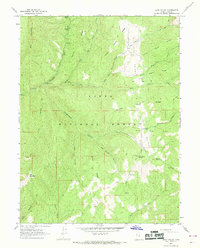
Editions of this 1967 Rays Valley Map
2 editions found
Other maps of this area

1885 · Salt Lake
USGS Topo · 1:250,000

1885 · Manti
USGS Topo · 1:250,000

1895 · Manti
USGS Topo · 1:250,000

1907 · Strawberry Valley
USGS Topo · 1:125,000

1909 · Strawberry Valley
USGS Topo · 1:125,000

1939 · Soldier Summit
USGS Topo · 1:62,500

1942 · Soldier Summit
USGS Topo · 1:62,500

1954 · Salt Lake City
USGS Topo · 1:250,000

1956 · Price
USGS Topo · 1:250,000

1958 · Salt Lake City
USGS Topo · 1:250,000