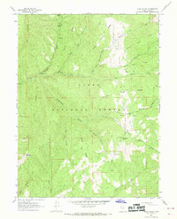
1967 Map of Rays Valley
USGS Topo · Published 1969About this map
Uinta National Forest lands dominate this mid-century topographic study, centered on the drainage systems of Rays Valley. The landscape is defined by a series of tributary creeks named in numerical order, from First Water Creek to Fifth Water, which feed into the larger Diamond Fork and Sheep Creek. This map captures a specific moment in public land management, showing established recreational sites such as Three Forks Campground and the Coal Mine Campground.
Find a feature on this map
34 named features on this map. Tap any name to fly to it.
Don’t see what you’re looking for? This feature index may not catch every label — zoom into the map to look around manually.
Map Details
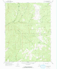
Editions of this 1967 Rays Valley Map
2 editions found
Other maps of this area

1885 · Salt Lake
USGS Topo · 1:250,000

1885 · Manti
USGS Topo · 1:250,000

1895 · Manti
USGS Topo · 1:250,000

1907 · Strawberry Valley
USGS Topo · 1:125,000

1909 · Strawberry Valley
USGS Topo · 1:125,000

1939 · Soldier Summit
USGS Topo · 1:62,500

1942 · Soldier Summit
USGS Topo · 1:62,500

1954 · Salt Lake City
USGS Topo · 1:250,000

1956 · Price
USGS Topo · 1:250,000

1958 · Salt Lake City
USGS Topo · 1:250,000