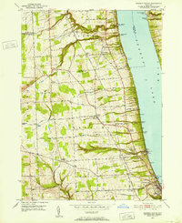
1950 Map of Reading Center
USGS Topo · Published 1964About this map
The western shore of Seneca Lake serves as the focal point for this 1950 survey, where the steep lakeside terrain is carved by Big Stream and Sawmill Creek. The mid-century landscape of Schuyler County is defined by a dense network of local roads such as Lovers Lane and Bates Cross Road, connecting agricultural hubs like Reading Center and North Reading. The shoreline is punctuated by numerous named points, including Peach Orchard Point and Glenora Point, reflecting the region's importance for both recreation and industry.
Find a feature on this map
68 named features on this map. Tap any name to fly to it.
Don’t see what you’re looking for? This feature index may not catch every label — zoom into the map to look around manually.
Map Details
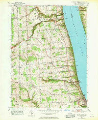
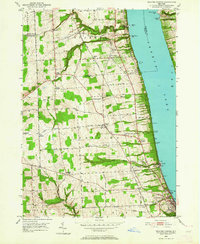
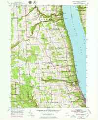
Editions of this 1950 Reading Center Map
4 editions found
Other maps of this area

1898 · Watkins Glen
USGS Topo · 1:62,500

1901 · Watkins
USGS Topo · 1:62,500

1902 · Ovid
USGS Topo · 1:62,500

1903 · Penn Yan
USGS Topo · 1:62,500

1903 · Hammondsport
USGS Topo · 1:62,500

1905 · Watkins Glen
USGS Topo · 1:125,000

1942 · Dundee
USGS Topo · 1:24,000

1942 · Lodi
USGS Topo · 1:24,000

1942 · Keuka Park
USGS Topo · 1:24,000

1943 · Keuka Lake
USGS Topo · 1:31,680