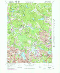
1966 Map of Reading
USGS Topo · Published 1979About this map
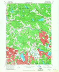
Lake Quannapowitt and the headwaters of the Saugus River anchor this 1960s study of the North Shore's expanding suburban landscape. The map shows the established centers of Reading and Wakefield transitioning from early industrial hubs to residential corridors, a shift evidenced by the numerous local schools like Eaton Sch and the Veterans Memorial Sch. To the north, the sprawling Harold Parker State Forest and the Camp Curtis Guild National Guard Reservation provide a sharp contrast to the dense neighborhoods, preserving a significant portion of the region's wetland and woodland character. This era records the heavy imprint of the Boston and Maine Railroad and the newly developed Interstate 93 corridor, which reshaped local travel. Smaller settlements like Brigadoon Village and the rural reaches of Middleton appear alongside legacy features such as Riverside Cem and Lakeside Cem.
Find a feature on this map
143 named features on this map. Tap any name to fly to it.
Don’t see what you’re looking for? This feature index may not catch every label — zoom into the map to look around manually.
Map Details
Editions of this 1966 Reading Map
2 editions found
Other maps of this area

1886 · Lawrence
USGS Topo · 1:62,500

1888 · Lawrence
USGS Topo · 1:62,500

1888 · Salem
USGS Topo · 1:62,500

1892 · Boston Bay
USGS Topo · 1:62,500

1893 · Salem
USGS Topo · 1:62,500

1893 · Boston
USGS Topo · 1:62,500

1893 · Lawrence
USGS Topo · 1:62,500

1903 · Boston
USGS Topo · 1:62,500

1903 · Boston Bay
USGS Topo · 1:62,500

1917 · Salem
USGS Topo · 1:62,500