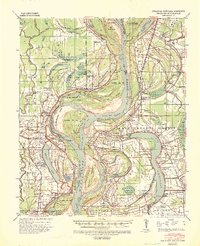
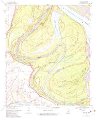
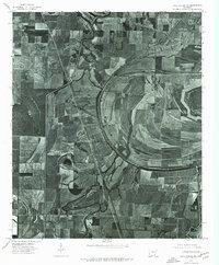
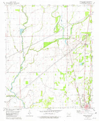
1939 Map of Readland
USGS Topo · Published 1942This historical map portrays the area of Readland in 1939, primarily covering Chicot County as well as portions of Louisiana and Mississippi. Featuring a scale of 1:62500, this map provides a highly detailed snapshot of the terrain, roads, buildings, counties, and historical landmarks in the Readland region at the time. Published in 1942, it is one of 3 known editions of this map due to revisions or reprints.
Find a feature on this map
96 named features on this map. Tap any name to fly to it.
Don’t see what you’re looking for? This feature index may not catch every label — zoom into the map to look around manually.
Map Details
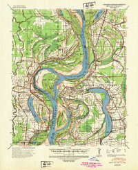
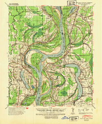
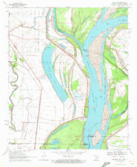
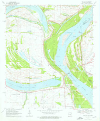
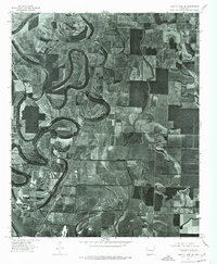
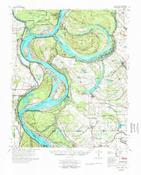
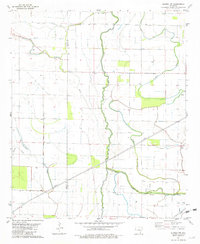
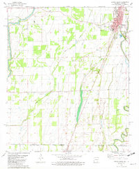
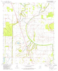
Editions of this 1939 Readland Map
3 editions found
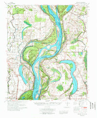
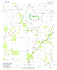
Historical Maps of Erwin Through Time
15 maps found

1933 Lamont
Chicot County, AR
1939 Readland
Chicot County, AR
1970 Eminence
Chicot County, AR
1970 Luna
Chicot County, AR
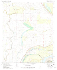
1970 Readland
Chicot County, AR
1970 Red Leaf
Chicot County, AR
1972 Readland
Chicot County, AR
1975 Lake Village NE
Chicot County, AR
1975 Lake Village NW
Chicot County, AR
1977 Lamont
Chicot County, AR
1981 Empire
Chicot County, AR
1981 Eudora North
Chicot County, AR
1981 Eudora NW
Chicot County, AR
1981 Eudora South
Chicot County, AR
1981 Macon Lake
Chicot County, AR