
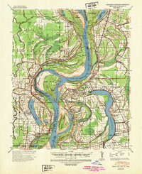
1939 Map of Readland
USGS Topo · Published 1942About this map
Mississippi River meanders define the landscape of this delta region, where Arkansas, Mississippi, and Louisiana meet. The 1939 survey captures a complex aqueous geography marked by engineered interventions like the Worthington Cut-Off 1933 and the ancient Grand Lake Cut-Off 1796-1817. These bypasses have left behind a series of oxbows and islands, including Island No 88 and the massive Cracraft Towhead. Along these shifting banks, a network of river landings such as Seven Oaks Ldg and Carriola Ldg supported the local economy.
Find a feature on this map
96 named features on this map. Tap any name to fly to it.
Don’t see what you’re looking for? This feature index may not catch every label — zoom into the map to look around manually.
Map Details
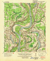
Editions of this 1939 Readland Map
3 editions found
Other maps of this area

1909 · Wilsons Point
USGS Topo · 1:24,000

1909 · Millikin
USGS Topo · 1:24,000

1909 · Ashton Bridge
USGS Topo · 1:24,000

1912 · Ashton Bridge
USGS Topo · 1:31,680

1913 · Wilson Point
USGS Topo · 1:31,680

1935 · Oak Grove
USGS Topo · 1:62,500

1936 · Eudora
USGS Topo · 1:62,500

1936 · Lake Village
USGS Topo · 1:62,500

1939 · Lorenzen
USGS Topo · 1:62,500

1939 · Refuge
USGS Topo · 1:62,500