
1953 Map of Ready
USGS Topo · Published 1954About this map
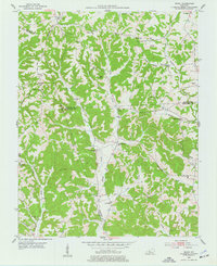
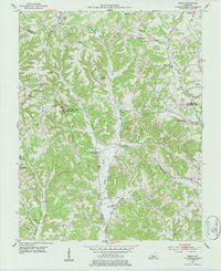
Big Reedy and the surrounding drainages of Big Reedy Creek anchor this rural landscape in the mid-1950s, where the boundary lines of Edmonson, Grayson, and Butler Counties converge. The settlement pattern is defined by small upland communities and numerous local institutions, including Rabbit Flat Ch and the Independence Sch, which served the scattered farmsteads of the era. A complex network of creeks and hollows, such as Raymers Fork and Rowe Hollow, dictated the placement of early roads and homesteads.
Find a feature on this map
38 named features on this map. Tap any name to fly to it.
Don’t see what you’re looking for? This feature index may not catch every label — zoom into the map to look around manually.
Map Details
Editions of this 1953 Ready Map
Other maps of this area

1914 · Little Muddy
USGS Topo · 1:62,500

1922 · Leitchfield
USGS Topo · 1:48,000

1922 · Brownsville
USGS Topo · 1:62,500

1923 · Brownsville
USGS Topo · 1:62,500

1925 · Spring Lick
USGS Topo · 1:62,500

1925 · Leitchfield
USGS Topo · 1:62,500

1953 · Bee Spring
USGS Topo · 1:24,000

1954 · Evansville
USGS Topo · 1:250,000

1954 · Spring Lick
USGS Topo · 1:24,000

1954 · Welchs Creek
USGS Topo · 1:24,000