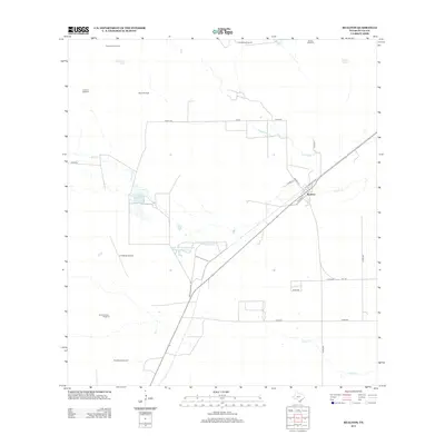
2013 Map of Realitos
USGS Topo · Published 2013About this map
Realitos serves as the primary hub for this South Texas landscape, situated at the junction of the Texas Mexican Railway and the state highway system. The town's grid, featuring Railroad Blvd and Corkill St, reflects its history as a shipping point for the surrounding ranchlands. The arid terrain is defined by an extensive network of water management features, including several family-named windmills like Longora Windmill and Haner Windmill, alongside livestock watering sites such as Guaturche Tank.
Find a feature on this map
30 named features on this map. Tap any name to fly to it.
Don’t see what you’re looking for? This feature index may not catch every label — zoom into the map to look around manually.
Map Details
Editions of this 2013 Realitos Map
This is the sole edition of this map. No revisions or reprints were ever made.
Other maps of this area

1921 · Falfurrias
USGS Topo · 1:125,000

1956 · Benavides
USGS Topo · 1:62,500

1956 · Laredo
USGS Topo · 1:250,000

1967 · Hebbronville SE
USGS Topo · 1:24,000

1967 · Parrilla Creek SE
USGS Topo · 1:24,000

1967 · Realitos
USGS Topo · 1:24,000

1967 · Hebbronville NW
USGS Topo · 1:24,000

1967 · Hebbronville
USGS Topo · 1:24,000

1968 · Parrilla Creek SW
USGS Topo · 1:24,000

1968 · Benavides
USGS Topo · 1:24,000