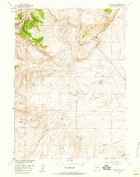
1957 Map of Red Canyon
USGS Topo · Published 1959About this map
The Oregon Trail cuts across the southeastern corner of this landscape, marking the historic path of westward expansion through the high plains of Fremont County. This 1950s survey captures a transition in land use, where traditional landmarks like Bain Spring and Jackson Spring provided critical water sources for travelers and livestock in an otherwise arid environment. The presence of an Oil Well north of Red Canyon signals the mid-century industrial interests developing in the region.
Find a feature on this map
15 named features on this map. Tap any name to fly to it.
Don’t see what you’re looking for? This feature index may not catch every label — zoom into the map to look around manually.
Map Details
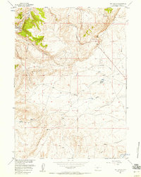
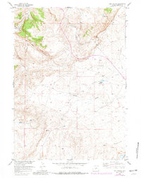
Editions of this 1957 Red Canyon Map
3 editions found
Other maps of this area

1953 · Lewiston Lakes
USGS Topo · 1:24,000

1953 · Barras Springs
USGS Topo · 1:24,000

1953 · Sweetwater Station
USGS Topo · 1:24,000

1953 · Happy Spring
USGS Topo · 1:24,000

1953 · Schlichting Mountain
USGS Topo · 1:24,000

1953 · Dishpan Butte
USGS Topo · 1:24,000

1953 · Del Monte Ridge
USGS Topo · 1:24,000

1953 · Yellowstone Ranch
USGS Topo · 1:24,000

1953 · Red Canyon
USGS Topo · 1:24,000

1955 · Lander
USGS Topo · 1:250,000