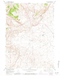
1957 Map of Red Canyon
USGS Topo · Published 1981About this map
The Oregon Trail cuts across the southern reach of this Wyoming landscape, marking a historic corridor of western migration through Fremont County. The terrain is dominated by the high escarpment of the Beaver Divide, which separates the drainages of the Sweetwater R to the south from the northern basins. This 1957 survey, with updates from the 1970s, illustrates a landscape defined by seasonal water management and ranching infrastructure, including the Miller Ditch and several livestock-focused water sources like Antelope Springs Reservoir and Jackson Reservoir. Dramatic physical features such as Red Canyon and Meadow Gulch reveal the erosive forces at work along the divide, while isolated points like Bain Spring and Jackson Spring provide critical watering holes in an otherwise arid high-desert environment. The map captures the intersection of mid-century cattle country with one of America's most significant historical transit routes.
Find a feature on this map
20 named features on this map. Tap any name to fly to it.
Don’t see what you’re looking for? This feature index may not catch every label — zoom into the map to look around manually.
Map Details
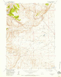
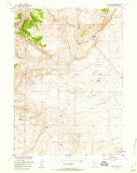
Editions of this 1957 Red Canyon Map
3 editions found
Other maps of this area

1953 · Lewiston Lakes
USGS Topo · 1:24,000

1953 · Barras Springs
USGS Topo · 1:24,000

1953 · Sweetwater Station
USGS Topo · 1:24,000

1953 · Happy Spring
USGS Topo · 1:24,000

1953 · Schlichting Mountain
USGS Topo · 1:24,000

1953 · Dishpan Butte
USGS Topo · 1:24,000

1953 · Del Monte Ridge
USGS Topo · 1:24,000

1953 · Yellowstone Ranch
USGS Topo · 1:24,000

1953 · Red Canyon
USGS Topo · 1:24,000

1955 · Lander
USGS Topo · 1:250,000