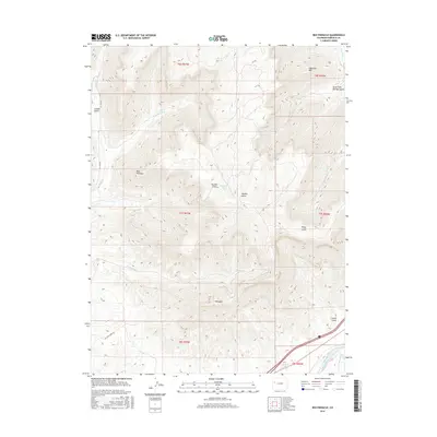
2016 Map of Red Pinnacle
USGS Topo · Published 2016About this map
Red Pinnacle and Mt Logan anchor this high-elevation terrain in Garfield County, where deep canyons and prominent summits dictate the movement of water and travelers. The landscape is defined by a series of dramatic drainages, including Starkey Gulch and Gilman Gulch, which feed into larger water systems like the Colorado River visible in the southern reaches. Human modification of the arid environment is evident in the Bluestone Valley Ditch, an irrigation feature designed to divert water across the varying elevations.
Find a feature on this map
27 named features on this map. Tap any name to fly to it.
Don’t see what you’re looking for? This feature index may not catch every label — zoom into the map to look around manually.
Map Details
Editions of this 2016 Red Pinnacle Map
This is the sole edition of this map. No revisions or reprints were ever made.
Other maps of this area

1925 · Parachute Creek
USGS Topo · 1:62,500

1927 · Parachute Creek
USGS Topo · 1:62,500

1929 · Grand Valley
USGS Topo · 1:62,500

1929 · Highmore
USGS Topo · 1:62,500

1929 · Roan Creek
USGS Topo · 1:62,500

1956 · Grand Junction
USGS Topo · 1:250,000

1959 · Grand Junction
USGS Topo · 1:250,000

1960 · Grand Junction
USGS Topo · 1:250,000

1962 · Grand Junction
USGS Topo · 1:250,000
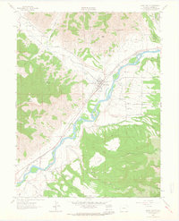
1962 · Grand Valley
USGS Topo · 1:24,000