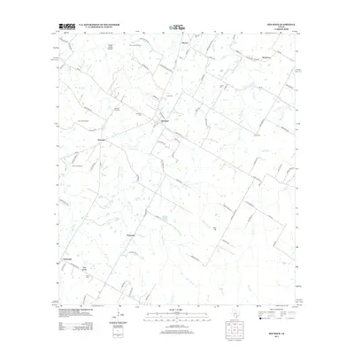
2013 Map of Red Rock
USGS Topo · Published 2013About this map
Red Rock and the surrounding Bastrop County settlements of Rockne, Bateman, and Taylorsville define this rural landscape. The area is marked by a legacy of petroleum extraction and family ranching, with the Carrol Lentz Oil Field and Bee Creek Oil Field situated north of the community centers. Local genealogy is well-preserved through numerous burial grounds, including the Old Red Rock Cem and Lentz Cem, many of which sit near the winding banks of Elm Cr and Lentz Br.
Find a feature on this map
90 named features on this map. Tap any name to fly to it.
Don’t see what you’re looking for? This feature index may not catch every label — zoom into the map to look around manually.
Map Details
Editions of this 2013 Red Rock Map
This is the sole edition of this map. No revisions or reprints were ever made.
Other maps of this area

1885 · Bastrop
USGS Topo · 1:125,000

1893 · Bastrop
USGS Topo · 1:125,000

1896 · Austin
USGS Topo · 1:125,000

1897 · Austin
USGS Topo · 1:125,000

1901 · Flatonia
USGS Topo · 1:125,000

1904 · Bastrop
USGS Topo · 1:125,000

1910 · Austin
USGS Topo · 1:125,000

1911 · San Marcos
USGS Topo · 1:125,000

1919 · San Marcos
USGS Topo · 1:125,000

1925 · San Marcos 1-d
USGS Topo · 1:48,000