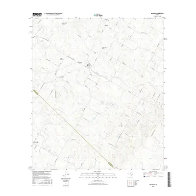
2016 Map of Red Rock
USGS Topo · Published 2016About this map
Red Rock and the surrounding Bastrop County landscape are defined by a network of creek branches and historic family cemeteries. The terrain transitions from the Upper Cedar Hollow and Lower Cedar Hollow in the north toward the expansive drainage basins of Upper Elm Cr and Lower Elm Cr. Small rural settlements like Bateman and Taylorsville serve as local anchors, while the proximity of numerous burial sites, including the Old Red Rock Cem and Lentz Cem, suggests a long-established community structure. The map illustrates a predominantly agricultural and ranching environment, where roads like the FM 812 Farm-to-Market Rd connect isolated homesteads. Water is a central theme of the geography, with Huber Lake providing a notable catchment point amidst the winding paths of Walnut Cr and Sandy Cr.
Find a feature on this map
88 named features on this map. Tap any name to fly to it.
Don’t see what you’re looking for? This feature index may not catch every label — zoom into the map to look around manually.
Map Details
Editions of this 2016 Red Rock Map
This is the sole edition of this map. No revisions or reprints were ever made.
Other maps of this area

1885 · Bastrop
USGS Topo · 1:125,000

1893 · Bastrop
USGS Topo · 1:125,000

1896 · Austin
USGS Topo · 1:125,000

1897 · Austin
USGS Topo · 1:125,000

1901 · Flatonia
USGS Topo · 1:125,000

1904 · Bastrop
USGS Topo · 1:125,000

1910 · Austin
USGS Topo · 1:125,000

1911 · San Marcos
USGS Topo · 1:125,000

1919 · San Marcos
USGS Topo · 1:125,000

1925 · San Marcos 1-d
USGS Topo · 1:48,000