
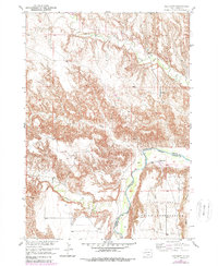
1951 Map of Red Shirt
USGS Topo · Published 1952About this map
The Cheyenne River winds through this 1951 survey, marking a significant geological and administrative boundary between Custer and Shannon Counties. Within the northern reaches of the Pine Ridge Indian Reservation, the landscape is defined by dramatic elevation changes leading up to the Pine Ridge Table. The small settlement of Red Shirt sits near the river's edge, serving as a focal point for the surrounding rural territory.
Find a feature on this map
12 named features on this map. Tap any name to fly to it.
Don’t see what you’re looking for? This feature index may not catch every label — zoom into the map to look around manually.
Map Details
Editions of this 1951 Red Shirt Map
3 editions found
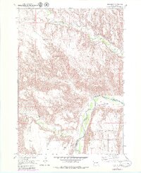
Other maps of this area

1894 · Hermosa
USGS Topo · 1:125,000

1901 · Hermosa
USGS Topo · 1:125,000

1951 · Fairburn SE
USGS Topo · 1:24,000

1951 · Red Shirt NE
USGS Topo · 1:24,000

1951 · Red Shirt SW
USGS Topo · 1:24,000

1951 · Cuny Table West
USGS Topo · 1:24,000

1953 · Hermosa SE
USGS Topo · 1:24,000

1953 · Folsom
USGS Topo · 1:24,000

1953 · Caputa SW
USGS Topo · 1:24,000

1955 · Hot Springs
USGS Topo · 1:250,000