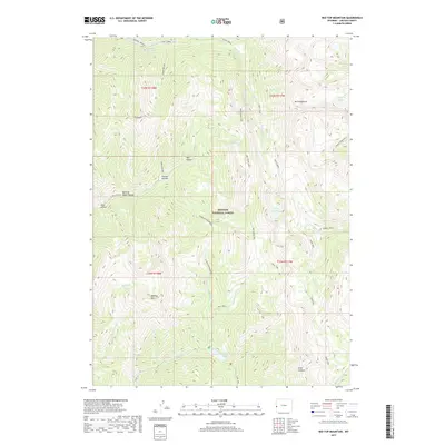
2017 Map of Red Top Mountain
USGS Topo · Published 2017About this map
Periodic Spring emerges as a rare hydrologic phenomenon in the northern section of this high-elevation landscape, where the terrain is dominated by the peaks and drainages of the Bridger National Forest. The geography is defined by significant vertical relief, rising from the canyons of Swift Creek and N Fork Cottonwood Creek toward massive landmarks like Mt Fitzpatrick. Numerous alpine water bodies are scattered across the slopes, including Crow Creek Lakes, Dry Creek Lake, and Cottonwood Lake. Access through this wilderness area is restricted to a few corridors such as Dry Creek Road and high-altitude passages like Sheep Pass. This 2017 survey details the complex drainage patterns that feed the S Crow Creek Falls and various unnamed tributaries, illustrating the intricate hydrology of the Wyoming range before modern developments altered these protected mountain reaches.
Find a feature on this map
44 named features on this map. Tap any name to fly to it.
Don’t see what you’re looking for? This feature index may not catch every label — zoom into the map to look around manually.
Map Details
Editions of this 2017 Red Top Mountain Map
This is the sole edition of this map. No revisions or reprints were ever made.
Other maps of this area

1921 · Afton
USGS Topo · 1:125,000

1955 · Preston
USGS Topo · 1:250,000

1958 · Preston
USGS Topo · 1:250,000

1962 · Preston
USGS Topo · 1:250,000
1980 · Grover
USGS Topo · 1:24,000
1980 · Smoot
USGS Topo · 1:24,000
1980 · Box Canyon Creek
USGS Topo · 1:24,000
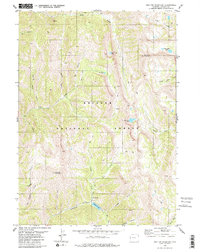
1980 · Red Top Mountain
USGS Topo · 1:24,000
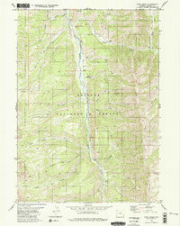
1980 · Park Creek
USGS Topo · 1:24,000
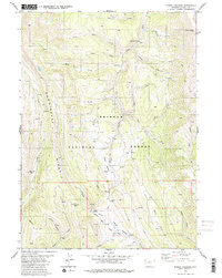
1980 · Poison Meadows
USGS Topo · 1:24,000