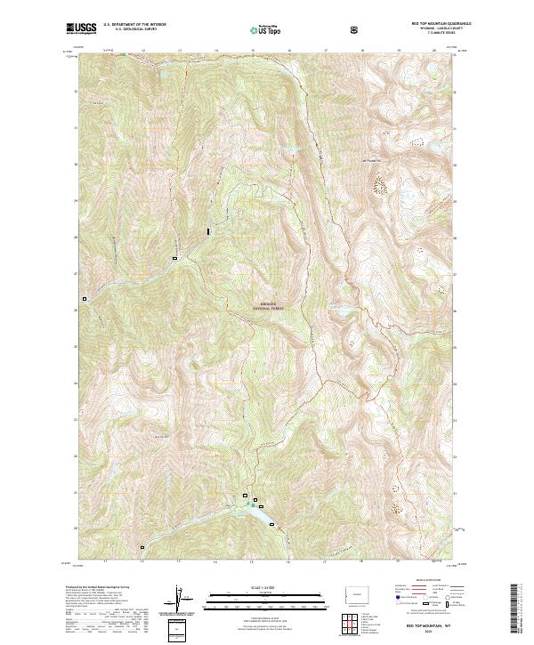
2021 Map of Red Top Mountain
USGS Topo · Published 2021About this map
Bridger National Forest defines this high-elevation landscape in Lincoln County, dominated by the peaks of Mt Fitzpatrick and Red Top Mountain. The area is notable for its complex hydrology, featuring the unique Periodic Spring and a series of glacial-formed water bodies including Swift Creek Lake, Crow Creek Lakes, and Cottonwood Lake. The drainage network is characterized by deep canyons such as Y Canyon, Slide Canyon, and Gomm Hollow.
Find a feature on this map
40 named features on this map. Tap any name to fly to it.
Don’t see what you’re looking for? This feature index may not catch every label — zoom into the map to look around manually.
Map Details
Editions of this 2021 Red Top Mountain Map
This is the sole edition of this map. No revisions or reprints were ever made.
Other maps of this area

1921 · Afton
USGS Topo · 1:125,000

1955 · Preston
USGS Topo · 1:250,000

1958 · Preston
USGS Topo · 1:250,000

1962 · Preston
USGS Topo · 1:250,000
1980 · Grover
USGS Topo · 1:24,000
1980 · Smoot
USGS Topo · 1:24,000
1980 · Box Canyon Creek
USGS Topo · 1:24,000
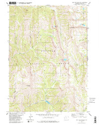
1980 · Red Top Mountain
USGS Topo · 1:24,000
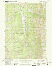
1980 · Park Creek
USGS Topo · 1:24,000
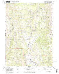
1980 · Poison Meadows
USGS Topo · 1:24,000