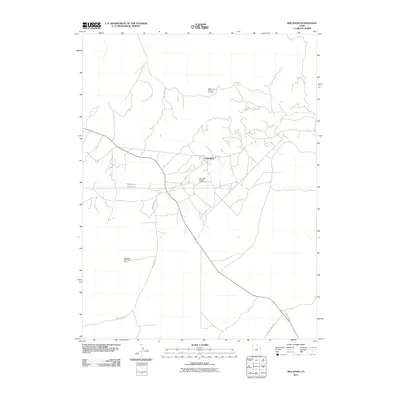
2011 Map of Red Wash
USGS Topo · Published 2011About this map
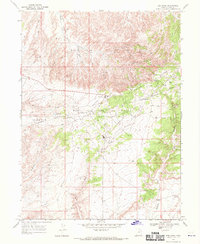
Red Wash Oil and Gas Field and the Walker Hollow Oil and Gas Field dominate this portion of the Uintah Basin, illustrating the intensive energy infrastructure of eastern Utah. The settlement of Red Wash serves as a central point for a complex network of local roads including Redwash Rd and Glen Bench Rd. The landscape is defined by its industrial utility, featuring the East White River Gas Field and the D G and T Power Plant access road. Water management in this arid environment is represented by the Siddoways Reservoir, located west of the primary oil fields. This 2011 survey documents a highly developed extraction landscape, providing a precise record of well fields and infrastructure that shape the regional economy.
Find a feature on this map
8 named features on this map. Tap any name to fly to it.
Don’t see what you’re looking for? This feature index may not catch every label — zoom into the map to look around manually.
Map Details
Editions of this 2011 Red Wash Map
This is the sole edition of this map. No revisions or reprints were ever made.
Other maps of this area

1885 · Ashley
USGS Topo · 1:250,000

1907 · Jensen
USGS Topo · 1:125,000

1910 · Jensen
USGS Topo · 1:125,000

1954 · Vernal
USGS Topo · 1:250,000

1958 · Vernal
USGS Topo · 1:250,000

1960 · Vernal
USGS Topo · 1:250,000
1965 · Rasmussen Hollow
USGS Topo · 1:24,000
1965 · Jensen
USGS Topo · 1:24,000
1968 · Red Wash SE
USGS Topo · 1:24,000
1968 · Red Wash
USGS Topo · 1:24,000