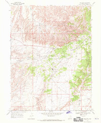
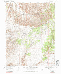
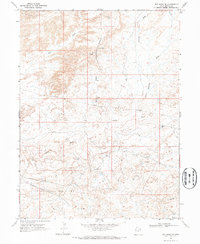
1968 Map of Red Wash
USGS Topo · Published 1970About this map
The industrial development of the Uintah Basin defines this high-desert landscape in the late 1960s. Dominated by the Red Wash Oil and Gas Field, the map illustrates a complex network of resource extraction that includes the Walker Hollow Oil and Gas Field to the north and the East White River Gas Field toward the south. The terrain is marked by expansive plateaus like Deadman Bench and Glen Bench, which are bisected by an intricate system of aboveground pipelines and access roads supporting numerous wells and sumps.
Find a feature on this map
24 named features on this map. Tap any name to fly to it.
Don’t see what you’re looking for? This feature index may not catch every label — zoom into the map to look around manually.
Map Details
Editions of this 1968 Red Wash Map
2 editions found
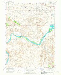
Other maps of this area

1885 · Ashley
USGS Topo · 1:250,000

1907 · Jensen
USGS Topo · 1:125,000

1910 · Jensen
USGS Topo · 1:125,000

1954 · Vernal
USGS Topo · 1:250,000

1958 · Vernal
USGS Topo · 1:250,000

1960 · Vernal
USGS Topo · 1:250,000
1965 · Rasmussen Hollow
USGS Topo · 1:24,000
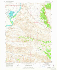
1965 · Jensen
USGS Topo · 1:24,000
1968 · Red Wash SE
USGS Topo · 1:24,000
1968 · Cliff Ridge
USGS Topo · 1:24,000