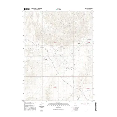
2017 Map of Red Wash
USGS Topo · Published 2017About this map
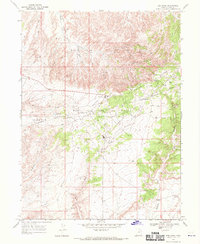
Siddoways Reservoir and the drainage network of Red Wash characterize this arid landscape in Uintah County. The terrain is defined by broad plateaus and dissected canyons, including the prominent Deadman Bench and Glen Bench. Transportation and infrastructure are central to the area's development, evidenced by the presence of Pipe Line Rd and S Deseret Power Plant Rd E, which cut across the high desert. Various natural drainages like Baser Wash, Antelope Draw, and Kennedy Wash illustrate the complex water-carved topography that has historically shaped movement and land use in this part of eastern Utah. The northern section is further detailed by the Right Fork Walker Hollow, showcasing the intricate contour patterns of the region's characteristic hollows and benches.
Find a feature on this map
11 named features on this map. Tap any name to fly to it.
Don’t see what you’re looking for? This feature index may not catch every label — zoom into the map to look around manually.
Map Details
Editions of this 2017 Red Wash Map
This is the sole edition of this map. No revisions or reprints were ever made.
Other maps of this area

1885 · Ashley
USGS Topo · 1:250,000

1907 · Jensen
USGS Topo · 1:125,000

1910 · Jensen
USGS Topo · 1:125,000

1954 · Vernal
USGS Topo · 1:250,000

1958 · Vernal
USGS Topo · 1:250,000

1960 · Vernal
USGS Topo · 1:250,000
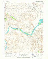
1965 · Rasmussen Hollow
USGS Topo · 1:24,000
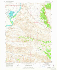
1965 · Jensen
USGS Topo · 1:24,000
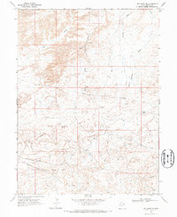
1968 · Red Wash SE
USGS Topo · 1:24,000
1968 · Red Wash
USGS Topo · 1:24,000