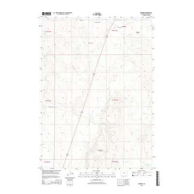
2015 Map of Redbird
USGS Topo · Published 2015About this map
Redbird sits at the intersection of rural ranching routes and water management in Niobrara County, where the high plains terrain is defined by complex drainage systems. The landscape is marked by the Old Woman Creek Hills and extensive flatlands like Culligans Flats, punctuated by named draws including Wheatgrass Draw and Beech Draw. These topographic features dictate the flow of seasonal water into vital local catchments such as the Sorem Number 1 Reservoir, Amelia Number 1 Reservoir, and the Clark and Metzger Reservoir.
Find a feature on this map
23 named features on this map. Tap any name to fly to it.
Don’t see what you’re looking for? This feature index may not catch every label — zoom into the map to look around manually.
Map Details
Editions of this 2015 Redbird Map
This is the sole edition of this map. No revisions or reprints were ever made.
Other maps of this area

1955 · Newcastle
USGS Topo · 1:250,000

1958 · Newcastle
USGS Topo · 1:250,000

1978 · Mule Creek
USGS Topo · 1:24,000
1978 · Oat Creek NW
USGS Topo · 1:24,000
1978 · South Oat Creek
USGS Topo · 1:24,000

1981 · Telephone Draw
USGS Topo · 1:24,000
1981 · Coyote Gap
USGS Topo · 1:24,000
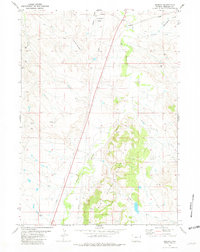
1981 · Redbird
USGS Topo · 1:24,000
1981 · Bowen Flat
USGS Topo · 1:24,000
1981 · Buck Creek Hills
USGS Topo · 1:24,000