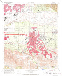
1967 Map of Redlands
USGS Topo · Published 1969About this map
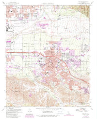
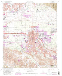
The city of Redlands serves as the focal point of this late 1960s survey, showing a landscape defined by citrus production and strategic military presence. The sprawling Norton Air Force Base occupies the northwestern corner, while the educational and civic heart of the area is represented by the University of Redlands and the downtown City Hall. The map documents the dense suburban growth extending toward Mentone and East Highlands, contrasted by the broad, braided path of the Santa Ana Wash. To the south, the terrain transitions into the steep ridges of San Timoteo Canyon and Reche Canyon. Local history is preserved through the locations of numerous neighborhood schools like Lugonia Sch and Lankershim Sch, as well as the Hillside Cem overlooking the city. Transportation networks are prominent, including the Atchison Topeka and Santa Fe and Southern Pacific railroads which historically facilitated the region's agricultural shipping.
Find a feature on this map
72 named features on this map. Tap any name to fly to it.
Don’t see what you’re looking for? This feature index may not catch every label — zoom into the map to look around manually.
Map Details
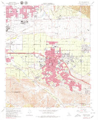
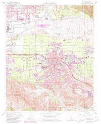
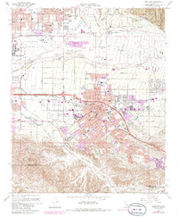
Editions of this 1967 Redlands Map
6 editions found
Other maps of this area

1896 · San Bernardino
USGS Topo · 1:62,500

1898 · San Bernardino
USGS Topo · 1:62,500

1899 · Redlands
USGS Topo · 1:62,500

1901 · Southern California Sheet No. 1
USGS Topo · 1:250,000

1901 · San Bernardino
USGS Topo · 1:62,500

1901 · Redlands
USGS Topo · 1:62,500

1901 · Elsinore
USGS Topo · 1:125,000

1901 · Riverside
USGS Topo · 1:62,500

1904 · Southern California Sheet No. 1
USGS Topo · 1:250,000

1936 · Arrowhead
USGS Topo · 1:31,680