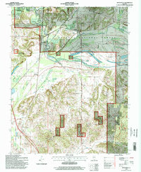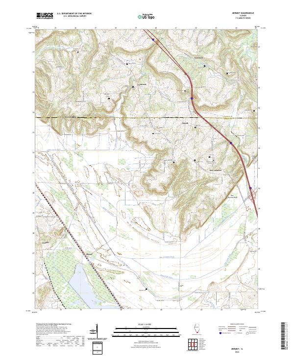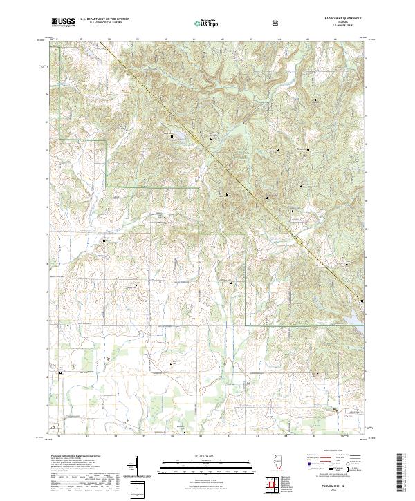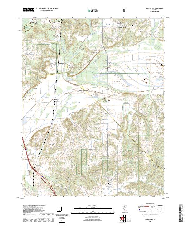
2024 Map of Reevesville
USGS Topo · Published 2024About this map
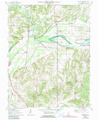
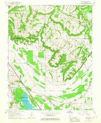
Shawnee National Forest encompasses much of this southern Illinois landscape, where the confluence of Pope, Johnson, and Massac counties creates a complex network of wetlands and drainage. The lowlands of the Old Bay and Black Slough are crisscrossed by historical water management efforts, including the Bay Creek Ditch and Bear Creek Ditch. Settlement is concentrated at the crossroads of Reevesville and Big Bay, while smaller locales like Allens Spring and Temple Hill anchor the surrounding rural tracts. Genealogists will find a high density of family and community burial sites scattered across the ridges, such as Canaan Cem, Sassafras Cem, and the Henley Cem. The terrain is marked by significant rises including Stafford Bluff and Cagle Bluff, which overlook the winding course of Bay Creek as it moves toward the Ohio River floodplain.
Find a feature on this map
65 named features on this map. Tap any name to fly to it.
Don’t see what you’re looking for? This feature index may not catch every label — zoom into the map to look around manually.
Map Details
Editions of this 2024 Reevesville Map
This is the sole edition of this map. No revisions or reprints were ever made.
Historical Maps of Temple Hill Through Time
8 maps found