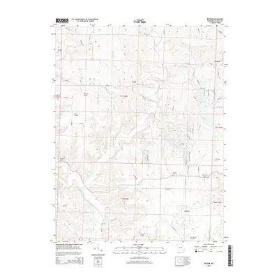
2015 Map of Reform
USGS Topo · Published 2015About this map
Auxvasse Creek snakes through the center of this Callaway County landscape, carving a network of drainages that includes Booth Br, Craighead Br, and Stinson Creek. Small rural settlements are scattered across the township, with Toledo positioned in the north, Reform in the south, and Yucatan located near the northeastern corner. The area is defined by its deep hollows, such as Maddox Hollow and K Y Spring Hollow, which reflect the eroded limestone topography of the region.
Find a feature on this map
73 named features on this map. Tap any name to fly to it.
Don’t see what you’re looking for? This feature index may not catch every label — zoom into the map to look around manually.
Map Details
Editions of this 2015 Reform Map
This is the sole edition of this map. No revisions or reprints were ever made.
Other maps of this area

1890 · Fulton
USGS Topo · 1:125,000

1928 · Fulton
USGS Topo · 1:62,500

1931 · Fulton
USGS Topo · 1:62,500

1935 · Morrison
USGS Topo · 1:48,000

1940 · Montgomery City
USGS Topo · 1:62,500

1942 · Montgomery City
USGS Topo · 1:62,500

1942 · Morrison
USGS Topo · 1:62,500

1945 · Mokane
USGS Topo · 1:62,500

1945 · Morrison
USGS Topo · 1:62,500

1949 · Saint Louis
USGS Topo · 1:250,000