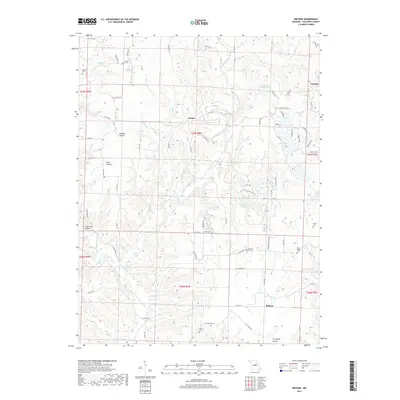
2017 Map of Reform
USGS Topo · Published 2017About this map
Toledo and Reform anchor this rural Callaway County landscape, where the deeply incised valleys of Auxvasse Creek and its many tributaries dictate the settlement pattern. The terrain is defined by a dense network of hollows, including Maddox Hollow, Pace Hollow, and Lawrence Hollow, which channel smaller runs like Booth Br and Stinson Creek. These drainages created a natural geography for dispersed farming and small local communities, often centered around family or church burial grounds.
Find a feature on this map
85 named features on this map. Tap any name to fly to it.
Don’t see what you’re looking for? This feature index may not catch every label — zoom into the map to look around manually.
Map Details
Editions of this 2017 Reform Map
This is the sole edition of this map. No revisions or reprints were ever made.
Other maps of this area

1890 · Fulton
USGS Topo · 1:125,000

1928 · Fulton
USGS Topo · 1:62,500

1931 · Fulton
USGS Topo · 1:62,500

1935 · Morrison
USGS Topo · 1:48,000

1940 · Montgomery City
USGS Topo · 1:62,500

1942 · Montgomery City
USGS Topo · 1:62,500

1942 · Morrison
USGS Topo · 1:62,500

1945 · Mokane
USGS Topo · 1:62,500

1945 · Morrison
USGS Topo · 1:62,500

1949 · Saint Louis
USGS Topo · 1:250,000