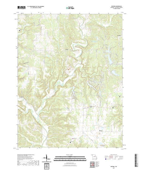
2021 Map of Reform
USGS Topo · Published 2021About this map
Auxvasse Creek and its many tributaries, including Craghead Br and Booth Br, define the drainage patterns of this central Missouri landscape. Small settlements like Toledo, Yucatan, and Reform are connected by a network of county roads such as Co RD 132 and State RD Uu. The map reveals a high concentration of burial sites for a rural area, including Guerrart Cem, Old Salem Cem, and Liberty Cem, which are valuable markers for genealogical research in Callaway County. Residential developments around Thunderbird Lake and Canyon Lake contrast with the traditional agricultural land use, showing the shift toward recreational and rural-residential expansion in the modern era. Named hollows like Maddox Hollow and Pace Hollow provide insight into the localized topography and family naming traditions of the region.
Find a feature on this map
79 named features on this map. Tap any name to fly to it.
Don’t see what you’re looking for? This feature index may not catch every label — zoom into the map to look around manually.
Map Details
Editions of this 2021 Reform Map
This is the sole edition of this map. No revisions or reprints were ever made.
Other maps of this area

1890 · Fulton
USGS Topo · 1:125,000

1928 · Fulton
USGS Topo · 1:62,500

1931 · Fulton
USGS Topo · 1:62,500

1935 · Morrison
USGS Topo · 1:48,000

1940 · Montgomery City
USGS Topo · 1:62,500

1942 · Montgomery City
USGS Topo · 1:62,500

1942 · Morrison
USGS Topo · 1:62,500

1945 · Mokane
USGS Topo · 1:62,500

1945 · Morrison
USGS Topo · 1:62,500

1949 · Saint Louis
USGS Topo · 1:250,000