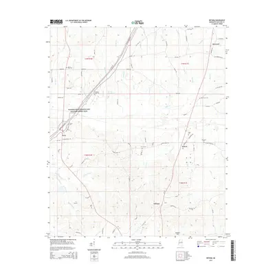
2015 Map of Reform
USGS Topo · Published 2015About this map
The Noxubee Hills provide the backdrop for this Choctaw County survey, where the settlement of Reform stands at the junction of Lahermill Rd and Reform-Sturgis Rd. The landscape is defined by a dense network of local watercourses, including Middle Bywy Cr, Little Bywy Cr, and Besa Chitto Cr, which flow through the southern half of the quadrangle. For genealogists, the map is remarkably dense with burial sites, showing locations for Mount Pisgah Cem, Old Mount Pisgah Cem, and the Antiocho Cem. To the north, the community of Sherwood and the smaller outpost of Bywy are connected by rural routes such as Old Trace Rd and Hester Rd, reflecting the traditional road patterns that have served these hill country communities for generations.
Find a feature on this map
108 named features on this map. Tap any name to fly to it.
Don’t see what you’re looking for? This feature index may not catch every label — zoom into the map to look around manually.
Map Details
Editions of this 2015 Reform Map
This is the sole edition of this map. No revisions or reprints were ever made.
Other maps of this area

1953 · Walthall
USGS Topo · 1:62,500

1953 · West Point
USGS Topo · 1:250,000

1958 · West Point
USGS Topo · 1:250,000

1963 · West Point
USGS Topo · 1:250,000

1966 · Weir
USGS Topo · 1:24,000

1966 · Tomnolen
USGS Topo · 1:24,000

1968 · Weir
USGS Topo · 1:62,500

1972 · Maben
USGS Topo · 1:24,000

1972 · Sapa
USGS Topo · 1:24,000

1972 · Double Springs
USGS Topo · 1:24,000