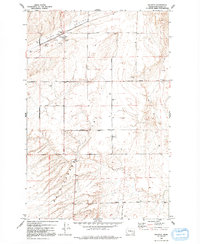
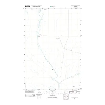
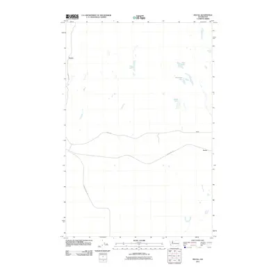
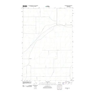
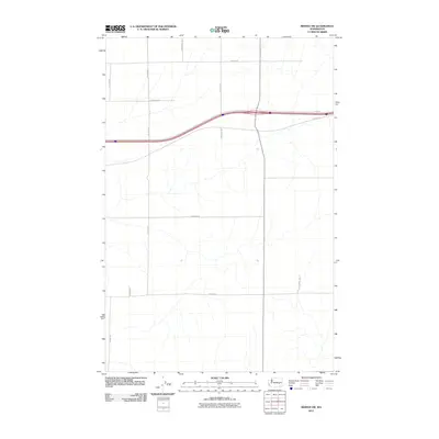
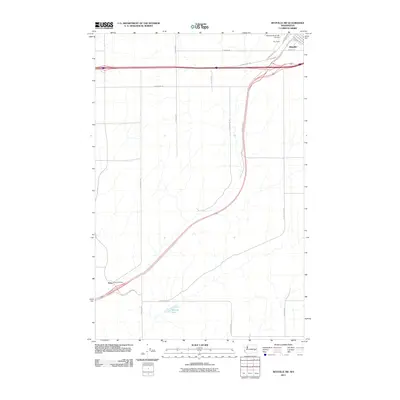
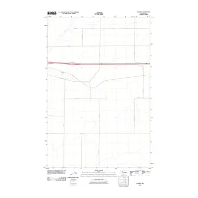
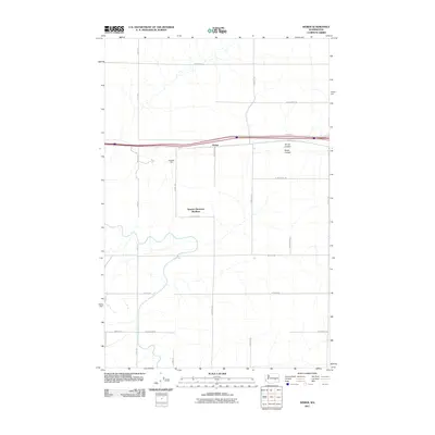
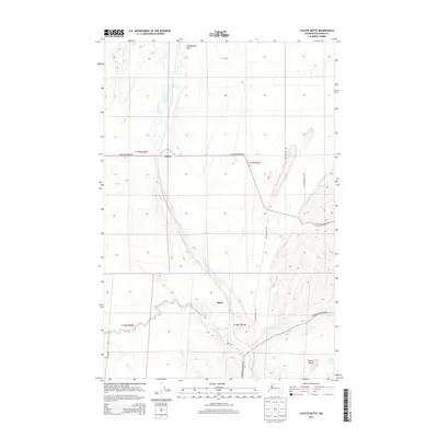
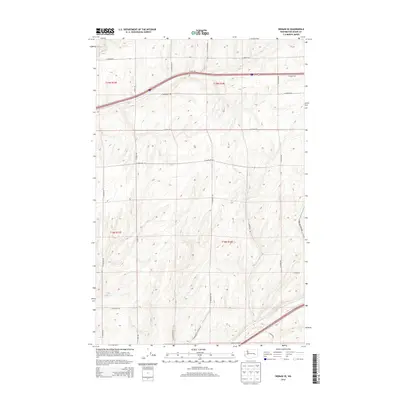
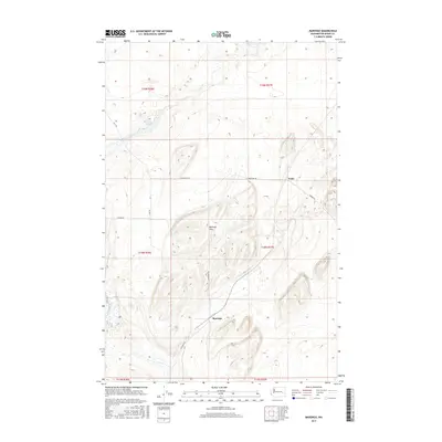
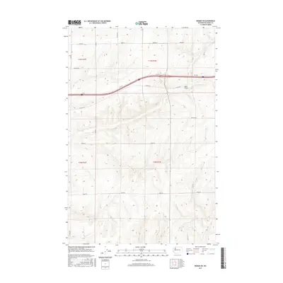
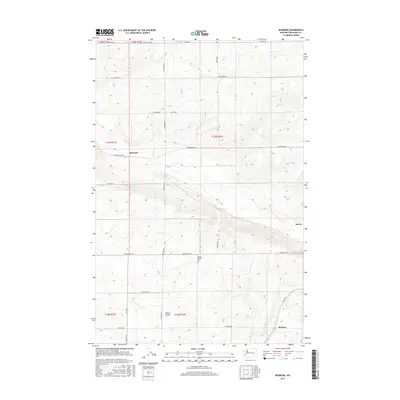
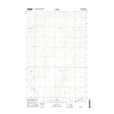
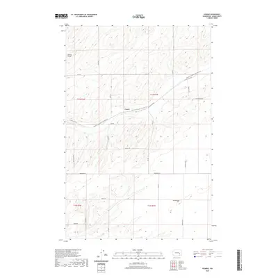
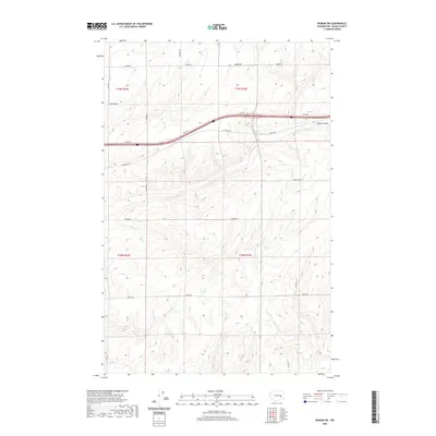
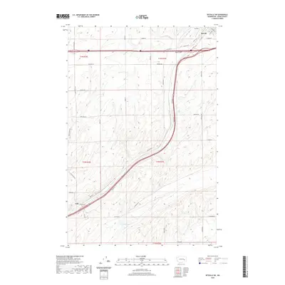
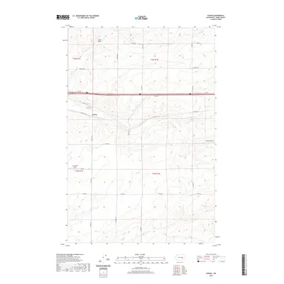
1967 Map of Reiman SE
USGS Topo · Published 1970About this map
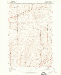
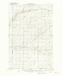
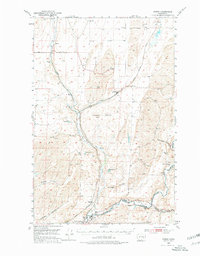
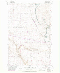
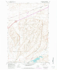
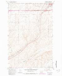
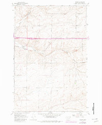
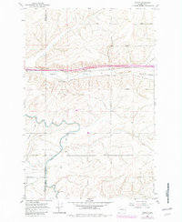
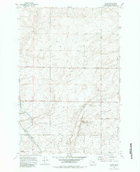
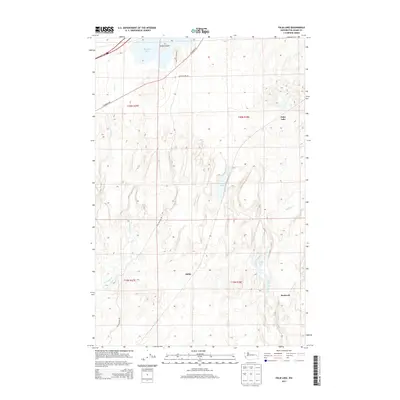
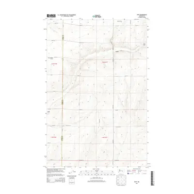
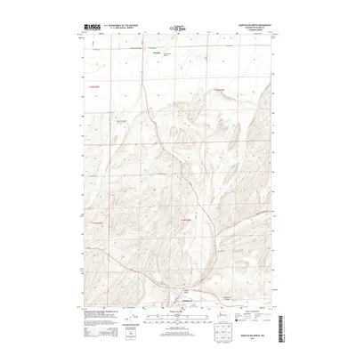
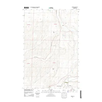
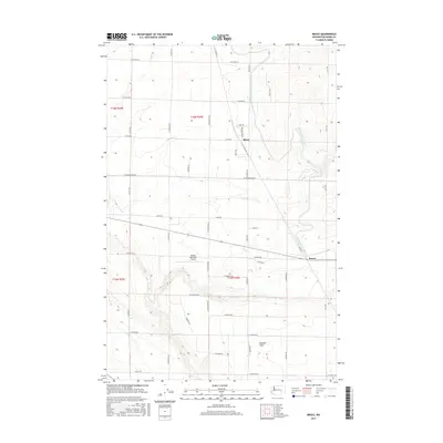
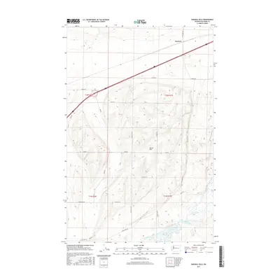
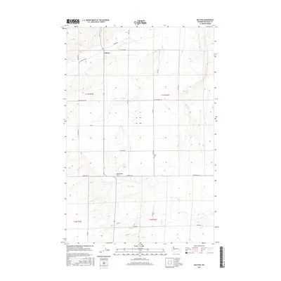
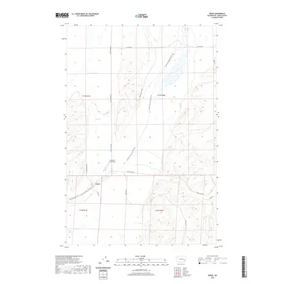
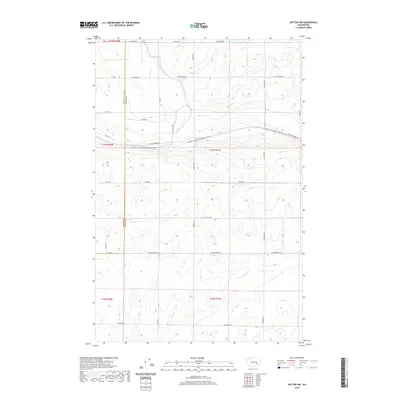
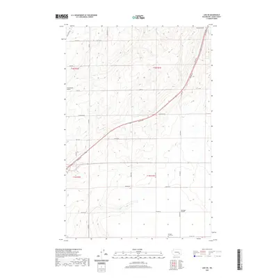
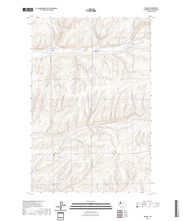
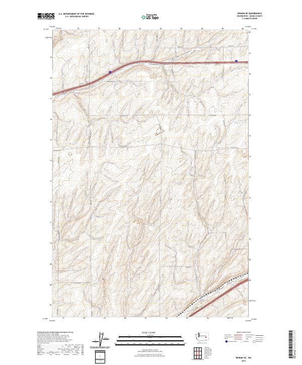
Agricultural research and rural transport infrastructure define this Adams County landscape during the mid-1960s. The Dryland Experiment Station sits at the southern edge of the quadrangle, representing the region's commitment to large-scale wheat farming and soil management. The terrain is deeply marked by the winding paths of Bauer Coulee and Paha Coulee, which dictate the placement of roads and the single rail corridor. The Northern Pacific tracks cut through the southeastern corner, following the low ground of the coulee alongside a Jeep Trail. Many roads across the survey carry the names of local farming families, such as Urquhart Road, Anderson Road, and Schoonover Road. Near the small settlement of Guy, a network of unimproved roads and specialized structures like a Radio Facility and a Gravel Pit highlight the localized economy of the Columbia Basin's dryland plateaus.
Find a feature on this map
21 named features on this map. Tap any name to fly to it.
Don’t see what you’re looking for? This feature index may not catch every label — zoom into the map to look around manually.
Map Details
Editions of this 1967 Reiman SE Map
2 editions found
Historical Maps of Adams County Through Time
195 maps found
1925 Schrag
Adams County, WA
1950 Benge
Adams County, WA

1952 Benge
Adams County, WA
1954 Bruce
Adams County, WA
1964 Karakul Hills
Adams County, WA

1964 Macall
Adams County, WA

1964 Marengo
Adams County, WA
1964 Palm Lake
Adams County, WA

1967 Batum
Adams County, WA

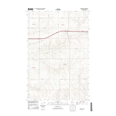
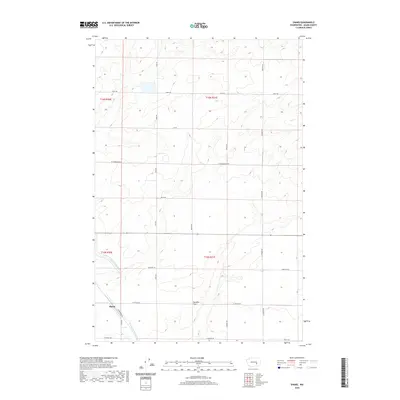
1967 Reiman
Adams County, WA
1967 Reiman SE
Adams County, WA
1967 Reiman SW
Adams County, WA

1967 Ritzville NE
Adams County, WA

1967 Ritzville NW
Adams County, WA

1967 Ritzville SE
Adams County, WA
1967 Ritzville SW
Adams County, WA

1967 Ruff
Adams County, WA

1967 Schoonover
Adams County, WA
1967 Schrag
Adams County, WA
1967 Weber
Adams County, WA

1970 Hatton NW
Adams County, WA

1970 Lind SE
Adams County, WA

1970 Lind SW
Adams County, WA

1970 Providence
Adams County, WA

1970 Roxboro
Adams County, WA
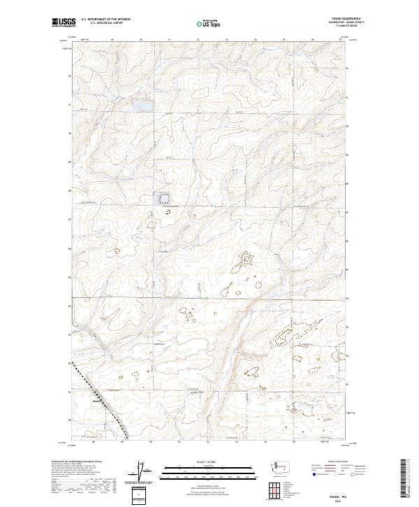
1970 Shano
Adams County, WA

1972 Pizarro
Adams County, WA
1972 Ralston
Adams County, WA

1972 Washtucna North
Adams County, WA

1972 Washtucna SW
Adams County, WA

1981 Benge
Adams County, WA

1981 Coyote Butte
Adams County, WA

1981 Hooper
Adams County, WA

1981 Rattlesnake Canyon
Adams County, WA

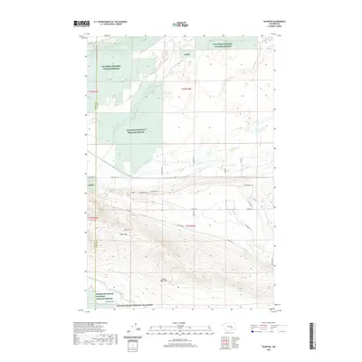
1986 Taunton
Adams County, WA
2011 Batum
Adams County, WA
2011 Benge
Adams County, WA
2011 Bruce
Adams County, WA
2011 Coyote Butte
Adams County, WA
2011 Hatton NW
Adams County, WA
2011 Hooper
Adams County, WA
2011 Karakul Hills
Adams County, WA

2011 Lind SE
Adams County, WA

2011 Lind SW
Adams County, WA
2011 Macall
Adams County, WA
2011 Marengo
Adams County, WA
2011 Palm Lake
Adams County, WA
2011 Pizarro
Adams County, WA
2011 Providence
Adams County, WA
2011 Ralston
Adams County, WA
2011 Rattlesnake Canyon
Adams County, WA

2011 Reiman
Adams County, WA
2011 Reiman SE
Adams County, WA
2011 Reiman SW
Adams County, WA
2011 Ritzville NE
Adams County, WA
2011 Ritzville NW
Adams County, WA
2011 Ritzville SE
Adams County, WA
2011 Ritzville SW
Adams County, WA
2011 Roxboro
Adams County, WA
2011 Ruff
Adams County, WA
2011 Schoonover
Adams County, WA
2011 Schrag
Adams County, WA
2011 Shano
Adams County, WA
2011 Taunton
Adams County, WA
2011 Washtucna North
Adams County, WA
2011 Weber
Adams County, WA
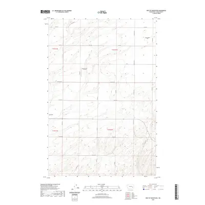
2011 West of Washtucna
Adams County, WA

2013 Batum
Adams County, WA
2013 Benge
Adams County, WA
2013 Bruce
Adams County, WA
2013 Coyote Butte
Adams County, WA
2013 Karakul Hills
Adams County, WA
2013 Lind SW
Adams County, WA
2013 Macall
Adams County, WA

2013 Marengo
Adams County, WA
2013 Palm Lake
Adams County, WA
2013 Pizarro
Adams County, WA
2013 Providence
Adams County, WA
2013 Ralston
Adams County, WA

2013 Rattlesnake Canyon
Adams County, WA

2013 Reiman
Adams County, WA
2013 Reiman SE
Adams County, WA
2013 Reiman SW
Adams County, WA
2013 Ritzville NE
Adams County, WA

2013 Ritzville NW
Adams County, WA
2013 Ritzville SE
Adams County, WA

2013 Ritzville SW
Adams County, WA

2013 Roxboro
Adams County, WA
2013 Ruff
Adams County, WA
2013 Schoonover
Adams County, WA
2013 Schrag
Adams County, WA
2013 Taunton
Adams County, WA
2013 Washtucna North
Adams County, WA
2013 Weber
Adams County, WA
2013 West of Washtucna
Adams County, WA
2014 Hatton NW
Adams County, WA
2014 Hooper
Adams County, WA
2014 Lind SE
Adams County, WA

2014 Shano
Adams County, WA
2017 Batum
Adams County, WA
2017 Benge
Adams County, WA
2017 Bruce
Adams County, WA
2017 Coyote Butte
Adams County, WA
2017 Hatton NW
Adams County, WA
2017 Hooper
Adams County, WA
2017 Karakul Hills
Adams County, WA
2017 Lind SE
Adams County, WA
2017 Lind SW
Adams County, WA
2017 Macall
Adams County, WA
2017 Marengo
Adams County, WA
2017 Palm Lake
Adams County, WA
2017 Pizarro
Adams County, WA
2017 Providence
Adams County, WA
2017 Ralston
Adams County, WA
2017 Rattlesnake Canyon
Adams County, WA
2017 Reiman
Adams County, WA
2017 Reiman SE
Adams County, WA
2017 Reiman SW
Adams County, WA
2017 Ritzville NE
Adams County, WA
2017 Ritzville NW
Adams County, WA

2017 Ritzville SE
Adams County, WA
2017 Ritzville SW
Adams County, WA
2017 Roxboro
Adams County, WA
2017 Ruff
Adams County, WA
2017 Schoonover
Adams County, WA
2017 Schrag
Adams County, WA
2017 Shano
Adams County, WA
2017 Taunton
Adams County, WA
2017 Washtucna North
Adams County, WA
2017 Weber
Adams County, WA
2017 West of Washtucna
Adams County, WA

2020 Batum
Adams County, WA
2020 Benge
Adams County, WA
2020 Bruce
Adams County, WA
2020 Coyote Butte
Adams County, WA
2020 Hatton NW
Adams County, WA
2020 Hooper
Adams County, WA
2020 Karakul Hills
Adams County, WA
2020 Lind SE
Adams County, WA
2020 Lind SW
Adams County, WA
2020 Macall
Adams County, WA
2020 Marengo
Adams County, WA
2020 Palm Lake
Adams County, WA
2020 Pizarro
Adams County, WA
2020 Providence
Adams County, WA

2020 Ralston
Adams County, WA
2020 Rattlesnake Canyon
Adams County, WA

2020 Reiman
Adams County, WA
2020 Reiman SE
Adams County, WA
2020 Reiman SW
Adams County, WA
2020 Ritzville NE
Adams County, WA
2020 Ritzville NW
Adams County, WA
2020 Ritzville SE
Adams County, WA
2020 Ritzville SW
Adams County, WA
2020 Roxboro
Adams County, WA
2020 Ruff
Adams County, WA
2020 Schoonover
Adams County, WA
2020 Schrag
Adams County, WA
2020 Shano
Adams County, WA
2020 Taunton
Adams County, WA

2020 Washtucna North
Adams County, WA

2020 Weber
Adams County, WA
2020 West of Washtucna
Adams County, WA
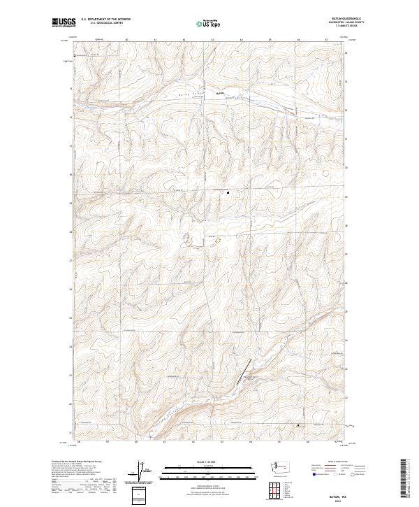
2023 Batum
Adams County, WA

2023 Benge
Adams County, WA
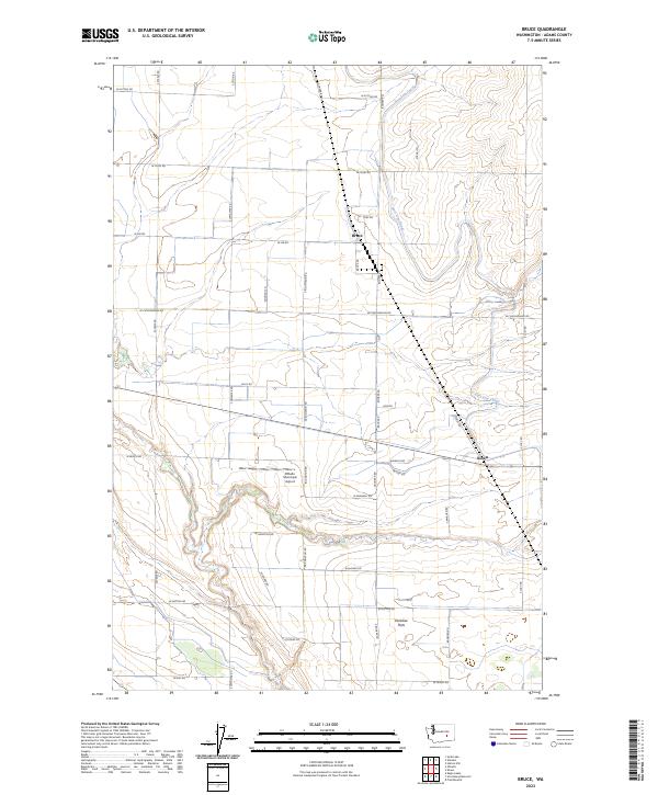
2023 Bruce
Adams County, WA
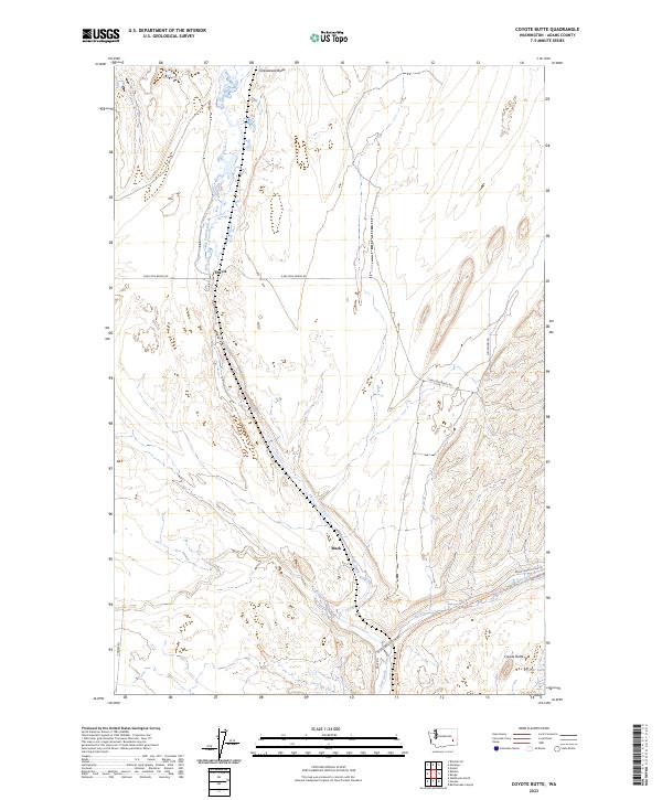
2023 Coyote Butte
Adams County, WA
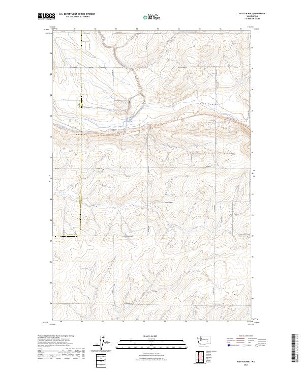
2023 Hatton NW
Adams County, WA

2023 Hooper
Adams County, WA
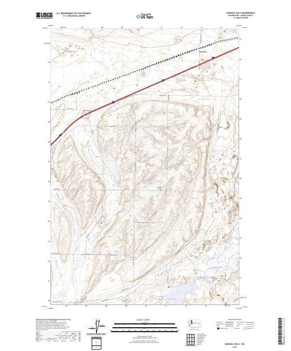
2023 Karakul Hills
Adams County, WA
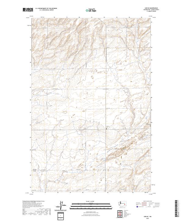
2023 Lind SE
Adams County, WA
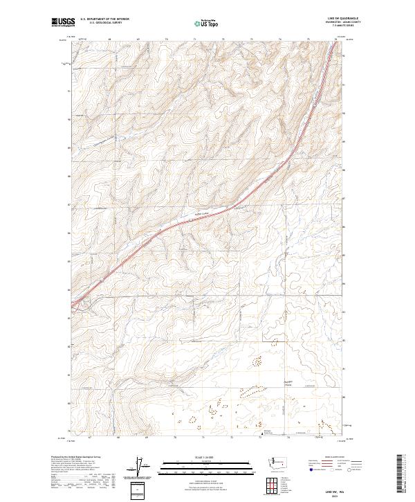
2023 Lind SW
Adams County, WA

2023 Macall
Adams County, WA
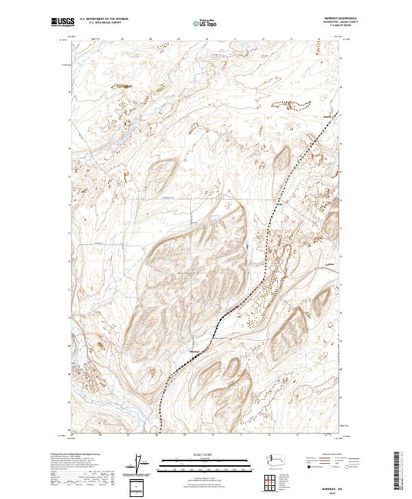
2023 Marengo
Adams County, WA
2023 Palm Lake
Adams County, WA

2023 Pizarro
Adams County, WA

2023 Providence
Adams County, WA
2023 Ralston
Adams County, WA
2023 Rattlesnake Canyon
Adams County, WA
2023 Reiman
Adams County, WA
2023 Reiman SE
Adams County, WA
2023 Reiman SW
Adams County, WA
2023 Ritzville NE
Adams County, WA
2023 Ritzville NW
Adams County, WA

2023 Ritzville SE
Adams County, WA
2023 Ritzville SW
Adams County, WA
2023 Roxboro
Adams County, WA

2023 Ruff
Adams County, WA
2023 Schoonover
Adams County, WA
2023 Schrag
Adams County, WA
2023 Shano
Adams County, WA
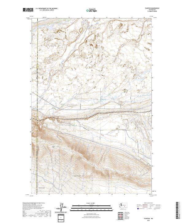
2023 Taunton
Adams County, WA

2023 Washtucna North
Adams County, WA

2023 Weber
Adams County, WA
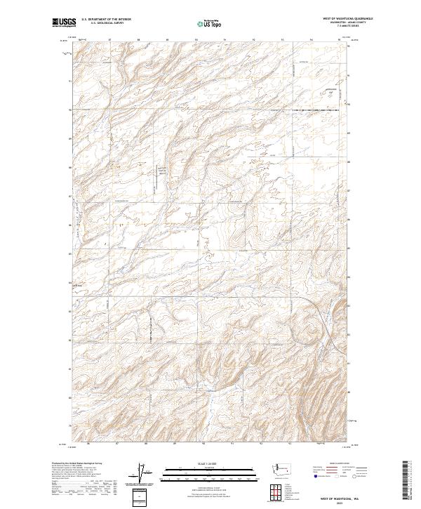
2023 West of Washtucna
Adams County, WA