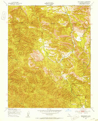
1949 Map of Reliz Canyon
USGS Topo · Published 1953About this map
Reliz Canyon and its complex network of seasonal drainages define this rugged section of Monterey County as it appeared following a 1949 field check. The landscape is dominated by the Los Padres National Forest, with its southern boundary meeting the Hunter Liggett Military Reservation. Remote cattle operations and early homesteads like Herbert Ranch and Leigh Ranch are scattered along the narrow canyon floors, often situated near vital water sources or a lonely Windmill.
Find a feature on this map
16 named features on this map. Tap any name to fly to it.
Don’t see what you’re looking for? This feature index may not catch every label — zoom into the map to look around manually.
Map Details
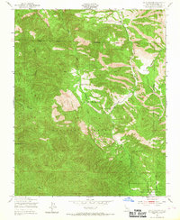
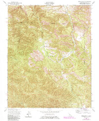
Editions of this 1949 Reliz Canyon Map
3 editions found
Other maps of this area

1912 · Metz
USGS Topo · 1:31,680

1915 · Soledad
USGS Topo · 1:62,500

1919 · King City
USGS Topo · 1:62,500

1919 · Junipero Serra
USGS Topo · 1:62,500

1921 · Metz
USGS Topo · 1:62,500

1939 · King City
USGS Topo · 1:62,500

1940 · Metz
USGS Topo · 1:62,500

1940 · Soledad
USGS Topo · 1:62,500

1941 · Junipero Serra
USGS Topo · 1:62,500

1947 · Metz
USGS Topo · 1:62,500