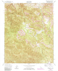
1949 Map of Reliz Canyon
USGS Topo · Published 1984About this map
The Los Padres National Forest anchors this mid-century survey of the California Coast Ranges, dominated by the winding path of Reliz Creek and the steep terrain of the Santa Lucia range. In 1949, this was a landscape of isolated livestock operations and rugged drainage systems, where small outposts like Herbert Ranch and Leigh Ranch served as the primary human identifiers among the deep creases of Monroe Canyon and Horse Canyon.
Find a feature on this map
16 named features on this map. Tap any name to fly to it.
Don’t see what you’re looking for? This feature index may not catch every label — zoom into the map to look around manually.
Map Details
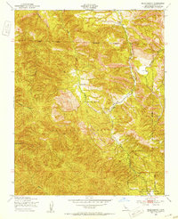
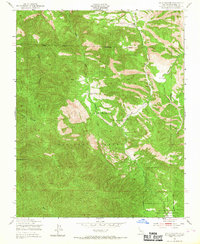
Editions of this 1949 Reliz Canyon Map
3 editions found
Other maps of this area

1912 · Metz
USGS Topo · 1:31,680

1915 · Soledad
USGS Topo · 1:62,500

1919 · King City
USGS Topo · 1:62,500

1919 · Junipero Serra
USGS Topo · 1:62,500

1921 · Metz
USGS Topo · 1:62,500

1939 · King City
USGS Topo · 1:62,500

1940 · Metz
USGS Topo · 1:62,500

1940 · Soledad
USGS Topo · 1:62,500

1941 · Junipero Serra
USGS Topo · 1:62,500

1947 · Metz
USGS Topo · 1:62,500