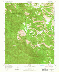
1949 Map of Reliz Canyon
USGS Topo · Published 1967About this map
Los Padres National Forest dominates this 1949 topographic study, revealing a sparsely populated ranching landscape before late-twentieth-century developments. The map tracks the drainage of Reliz Canyon and its tributaries, including Vaqueros Creek and Sweetwater Creek, which carve through the steep terrain. Evidence of early settlement and land use appears at Herbert Ranch and Leigh Ranch, along with several windmills and an intriguing site of Ruins perched near the canyon rim.
Find a feature on this map
16 named features on this map. Tap any name to fly to it.
Don’t see what you’re looking for? This feature index may not catch every label — zoom into the map to look around manually.
Map Details
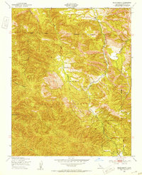
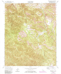
Editions of this 1949 Reliz Canyon Map
3 editions found
Other maps of this area

1912 · Metz
USGS Topo · 1:31,680

1915 · Soledad
USGS Topo · 1:62,500

1919 · King City
USGS Topo · 1:62,500

1919 · Junipero Serra
USGS Topo · 1:62,500

1921 · Metz
USGS Topo · 1:62,500

1939 · King City
USGS Topo · 1:62,500

1940 · Metz
USGS Topo · 1:62,500

1940 · Soledad
USGS Topo · 1:62,500

1941 · Junipero Serra
USGS Topo · 1:62,500

1947 · Metz
USGS Topo · 1:62,500