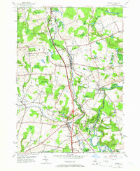
1955 Map of Remsen
USGS Topo · Published 1957About this map
West Canada Creek and its dramatic Trenton Falls anchor the southeastern corner of this mid-century survey, where the New York Central Railroad tracks follow the valley floor north through the village of Remsen. This landscape is marked by its Welsh heritage and commemorative history, featuring sites like Penn-Y-Bryn Church and the Baron Von Steuben Memorial Park. The area around Trenton Barneveld reveals a complex network of early transportation and burial grounds, including the Olden-Barneveld Cemetery and numerous family or neighborhood plots such as Fuller Cemetery and Cobin Cemetery. Settlement patterns are clustered around traditional hubs like Sixty Corners and Mapledale, while the presence of the Feeder Canal and various quarries points to the region's industrial ties to water power and raw material extraction during this era of New York's interior development.
Find a feature on this map
45 named features on this map. Tap any name to fly to it.
Don’t see what you’re looking for? This feature index may not catch every label — zoom into the map to look around manually.
Map Details
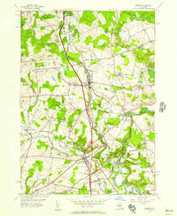
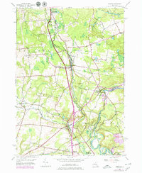
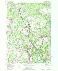
Editions of this 1955 Remsen Map
4 editions found
Other maps of this area

1895 · Oriskany
USGS Topo · 1:62,500

1897 · Remsen
USGS Topo · 1:62,500

1898 · Utica
USGS Topo · 1:62,500

1898 · Oriskany
USGS Topo · 1:62,500

1900 · Utica
USGS Topo · 1:62,500

1900 · Remsen
USGS Topo · 1:62,500

1904 · Boonville
USGS Topo · 1:62,500

1943 · Newport
USGS Topo · 1:24,000
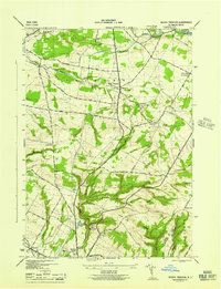
1945 · South Trenton
USGS Topo · 1:31,680
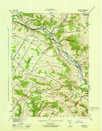
1945 · Newport
USGS Topo · 1:31,680