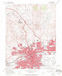
1967 Map of Reno
USGS Topo · Published 1971About this map
The Truckee River corridor serves as the industrial and civic heart of this mid-century Nevada landscape, where the adjacent cities of Reno and Sparks are shown in their period of rapid post-war expansion. This survey captures a dense network of residential streets and public infrastructure, including dozens of schools like Reno High Sch and specialized institutions such as St Marys Hospital. The Reno-Sparks Indian Colony sits prominently near the bend of the river, while the Reno Municipal Airport occupies the southern Meadows area. To the north, the terrain transitions from urban grids to open valleys and industrial sites, including the Reno Motor Speedway and the Washoe County Fairgrounds. The influence of the Southern Pacific railroad is evident, paralleling the river and dictating the growth of the downtown districts and the Panther Valley area.
Find a feature on this map
58 named features on this map. Tap any name to fly to it.
Don’t see what you’re looking for? This feature index may not catch every label — zoom into the map to look around manually.
Map Details
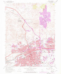
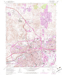
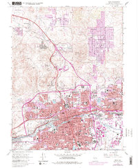
Editions of this 1967 Reno Map
4 editions found
Other maps of this area

1891 · Carson
USGS Topo · 1:125,000

1891 · Reno
USGS Topo · 1:125,000

1893 · Carson
USGS Topo · 1:125,000

1893 · Reno
USGS Topo · 1:125,000

1950 · Virginia City
USGS Topo · 1:62,500

1950 · Mt. Rose
USGS Topo · 1:62,500

1950 · Reno
USGS Topo · 1:62,500

1951 · Reno
USGS Topo · 1:62,500

1952 · Mt. Rose
USGS Topo · 1:62,500

1952 · Virginia City
USGS Topo · 1:62,500