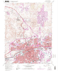
1967 Map of Reno
USGS Topo · Published 1983About this map
The Reno and Sparks urban core is captured here during a period of rapid mid-century expansion into the surrounding high desert. The course of the Truckee River serves as the central anchor for the valley, bordered by the established neighborhoods and the extensive University of Nevada campus. Evidence of the region’s older foundations is visible in the Reno Indian Colony and historical burial grounds like Mountain View Cem and the Mother of Sorrows Cemetery.
Find a feature on this map
45 named features on this map. Tap any name to fly to it.
Don’t see what you’re looking for? This feature index may not catch every label — zoom into the map to look around manually.
Map Details
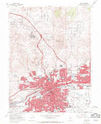
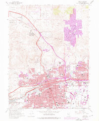
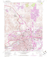
Editions of this 1967 Reno Map
4 editions found
Other maps of this area

1891 · Carson
USGS Topo · 1:125,000

1891 · Reno
USGS Topo · 1:125,000

1893 · Carson
USGS Topo · 1:125,000

1893 · Reno
USGS Topo · 1:125,000

1950 · Virginia City
USGS Topo · 1:62,500

1950 · Mt. Rose
USGS Topo · 1:62,500

1950 · Reno
USGS Topo · 1:62,500

1951 · Reno
USGS Topo · 1:62,500

1952 · Mt. Rose
USGS Topo · 1:62,500

1952 · Virginia City
USGS Topo · 1:62,500