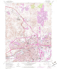
1967 Map of Reno
USGS Topo · Published 1983About this map
The Truckee River anchors this 1967 survey of northwestern Nevada, tracing a path through the heart of Reno and Sparks. The landscape reflects a period of significant urban expansion, with purple-tinted revisions highlighting the growth of residential tracts in Sun Valley, Golden Valley, and Black Springs. Transportation networks dominate the valley floor, including the routes of the Southern Pacific and Western Pacific railroads alongside the developing path of Interstate 80. To the east, the Cannon International Airport and the Nevada Mental Health Institute stand as major institutional landmarks.
Find a feature on this map
110 named features on this map. Tap any name to fly to it.
Don’t see what you’re looking for? This feature index may not catch every label — zoom into the map to look around manually.
Map Details
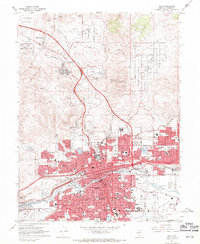
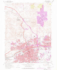
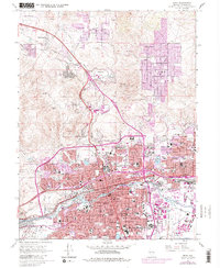
Editions of this 1967 Reno Map
4 editions found
Other maps of this area

1891 · Carson
USGS Topo · 1:125,000

1891 · Reno
USGS Topo · 1:125,000

1893 · Carson
USGS Topo · 1:125,000

1893 · Reno
USGS Topo · 1:125,000

1950 · Virginia City
USGS Topo · 1:62,500

1950 · Mt. Rose
USGS Topo · 1:62,500

1950 · Reno
USGS Topo · 1:62,500

1951 · Reno
USGS Topo · 1:62,500

1952 · Mt. Rose
USGS Topo · 1:62,500

1952 · Virginia City
USGS Topo · 1:62,500