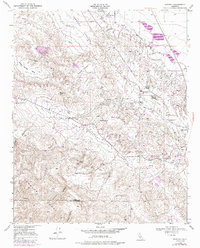
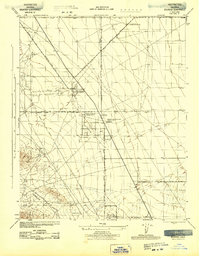
1950 Map of Reward
USGS Topo · Published 1988About this map
Reward and McKittrick sit at the intersection of the desert floor and the rising Temblor Range, serving as centers for a landscape dominated by petroleum extraction. The presence of major energy interests including Standard Oil, Tidewater Associated Oil, and Union Oil reveals the industrial character of western Kern County during the mid-20th century. A dense network of Pipe Lines, oil sumps, and tanks stretches across the McKittrick Valley, while smaller settlements like the Olig School supported the local workforce.
Find a feature on this map
33 named features on this map. Tap any name to fly to it.
Don’t see what you’re looking for? This feature index may not catch every label — zoom into the map to look around manually.
Map Details
Editions of this 1950 Reward Map
4 editions found
Other maps of this area

1912 · McKittrick
USGS Topo · 1:125,000

1931 · Lokern
USGS Topo · 1:31,680

1932 · West Elk Hills
USGS Topo · 1:31,680

1934 · Lokern
USGS Topo · 1:31,680

1941 · Caliente Mountain
USGS Topo · 1:62,500

1942 · Caliente Mtn
USGS Topo · 1:62,500

1943 · Simmler
USGS Topo · 1:62,500
1943 · Belridge
USGS Topo · 1:31,680

1943 · Caliente Mtn.
USGS Topo · 1:62,500

1944 · Panorama Hills
USGS Topo · 1:31,680