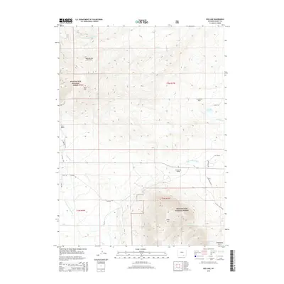
2015 Map of Rex Lake
USGS Topo · Published 2015About this map
The Centennial Valley floor meets the eastern slopes of the Medicine Bow Mountains in this high-altitude Wyoming landscape. This environment is defined by its water management and grazing infrastructure, where the Little Laramie River and its North Fork weave across the valley floor, supplemented by the Bellamy Ditch and Adams Ditch. These irrigation features supported the ranching economy, evidenced by local landmarks like Vee Bar Ranch Rd. Prominent summits including Bald Mtn and Sheep Mtn rise sharply within the Medicine Bow National Forest, framing the central drainage of Rex Lake. The map reveals a network of rural access points such as McGill Ln and Dinwiddie Rd, which provide a detailed look at the land division and homestead access routes between the mountain peaks and the fertile basin.
Find a feature on this map
35 named features on this map. Tap any name to fly to it.
Don’t see what you’re looking for? This feature index may not catch every label — zoom into the map to look around manually.
Map Details
Editions of this 2015 Rex Lake Map
This is the sole edition of this map. No revisions or reprints were ever made.
Other maps of this area

1895 · Laramie
USGS Topo · 1:125,000

1902 · Laramie
USGS Topo · 1:125,000

1905 · Laramie
USGS Topo · 1:125,000

1906 · Medicine Bow
USGS Topo · 1:125,000

1906 · Laramie
USGS Topo · 1:125,000

1908 · Laramie
USGS Topo · 1:125,000

1908 · Medicine Bow
USGS Topo · 1:125,000

1954 · Cheyenne
USGS Topo · 1:250,000

1954 · Rawlins
USGS Topo · 1:250,000

1958 · Rawlins
USGS Topo · 1:250,000