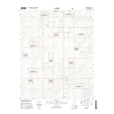
2016 Map of Reydon
USGS Topo · Published 2016About this map
The Black Kettle National Grassland dominates this portion of western Oklahoma, creating a complex patchwork of public and private lands near the Texas border. The town of Reydon serves as a local hub, featuring streets named Santa Fe Ave and Pampa St, while the community of Rankin lies to the south. This landscape is defined by its sophisticated water management system, illustrated by a dense network of reservoirs including Upper Washita River Site 50 Reservoir and Upper Washita Site 101 Reservoir. These sites, along with Skipout Lake, provide essential water storage along the drainage of Rush Cr. For those tracing family history, the Union Chapel Cem stands as a central genealogical landmark among the section lines and rural routes like E0880 Rd.
Find a feature on this map
46 named features on this map. Tap any name to fly to it.
Don’t see what you’re looking for? This feature index may not catch every label — zoom into the map to look around manually.
Map Details
Editions of this 2016 Reydon Map
This is the sole edition of this map. No revisions or reprints were ever made.
Other maps of this area

1954 · Amarillo
USGS Topo · 1:250,000

1955 · Clinton
USGS Topo · 1:250,000

1957 · Clinton
USGS Topo · 1:250,000

1958 · Amarillo
USGS Topo · 1:250,000

1961 · Reydon
USGS Topo · 1:62,500

1963 · Allison
USGS Topo · 1:24,000

1965 · Crawford
USGS Topo · 1:24,000

1966 · Durham
USGS Topo · 1:24,000

1967 · Gem
USGS Topo · 1:24,000

1967 · Hackberry Creek
USGS Topo · 1:24,000