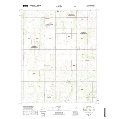
2018 Map of Reydon
USGS Topo · Published 2018About this map
Reydon serves as the primary hub of this Western Oklahoma landscape, characterized by a grid of rural roads and the conservation lands of the Black Kettle National Grassland. The town's layout is centered around streets like Santa Fe Ave and Pampa St, reflecting its position within the agricultural and ranching heart of Roger Mills County. Further south, the settlement of Rankin sits near the winding path of Rush Cr, which provides natural drainage through the predominantly upland terrain.
Find a feature on this map
41 named features on this map. Tap any name to fly to it.
Don’t see what you’re looking for? This feature index may not catch every label — zoom into the map to look around manually.
Map Details
Editions of this 2018 Reydon Map
This is the sole edition of this map. No revisions or reprints were ever made.
Other maps of this area

1954 · Amarillo
USGS Topo · 1:250,000

1955 · Clinton
USGS Topo · 1:250,000

1957 · Clinton
USGS Topo · 1:250,000

1958 · Amarillo
USGS Topo · 1:250,000

1961 · Reydon
USGS Topo · 1:62,500

1963 · Allison
USGS Topo · 1:24,000

1965 · Crawford
USGS Topo · 1:24,000

1966 · Durham
USGS Topo · 1:24,000

1967 · Gem
USGS Topo · 1:24,000

1967 · Hackberry Creek
USGS Topo · 1:24,000