
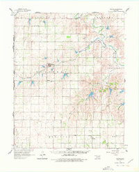
1961 Map of Reydon
USGS Topo · Published 1963About this map
Reydon and its surrounding Western Oklahoma agricultural lands are centered in this 1961 field-checked survey, depicting a landscape defined by the drainage systems of the Washita River and Rush Creek. The geography reveals a network of small rural settlements including Rankin and Dempsey, which serve as vital local hubs during this post-war era. Significant for genealogical research, the map labels several community landmarks such as Union Chapel Cem, White Rose Cem, and the Dempsey Cem, providing a precise record of burial grounds and family history sites.
Find a feature on this map
23 named features on this map. Tap any name to fly to it.
Don’t see what you’re looking for? This feature index may not catch every label — zoom into the map to look around manually.
Map Details
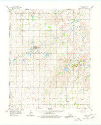
Editions of this 1961 Reydon Map
3 editions found
Other maps of this area

1954 · Amarillo
USGS Topo · 1:250,000

1955 · Clinton
USGS Topo · 1:250,000

1957 · Clinton
USGS Topo · 1:250,000

1958 · Amarillo
USGS Topo · 1:250,000

1960 · Sweetwater
USGS Topo · 1:62,500

1960 · Cheyenne
USGS Topo · 1:62,500

1960 · Sayre
USGS Topo · 1:62,500

1963 · Allison
USGS Topo · 1:24,000

1963 · Kelton
USGS Topo · 1:24,000

1965 · Crawford
USGS Topo · 1:24,000