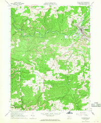
1966 Map of Reynoldsville
USGS Topo · Published 1968About this map
The borough of Reynoldsville and its industrial surroundings characterize this mid-1960s survey, showing a landscape shaped by coal extraction and rail transport. The town serves as a hub where Sandy Lick Creek meets Soldier Run, featuring essential infrastructure like a Filtration Plant and Sewage Disposal system. Numerous Strip Mines and several Tipples are scattered throughout the hills of Winslow and McCalmont townships, illustrating the region's reliance on the mining industry during this era.
Find a feature on this map
56 named features on this map. Tap any name to fly to it.
Don’t see what you’re looking for? This feature index may not catch every label — zoom into the map to look around manually.
Map Details
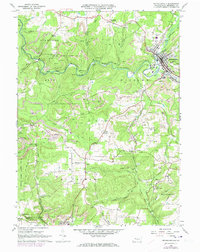
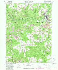
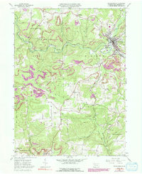
Editions of this 1966 Reynoldsville Map
4 editions found
Other maps of this area

1906 · Punxsutawney
USGS Topo · 1:62,500

1909 · Smicksburg
USGS Topo · 1:62,500

1922 · Du Bois
USGS Topo · 1:62,500

1924 · Du Bois
USGS Topo · 1:62,500

1924 · Brookville
USGS Topo · 1:62,500

1926 · Brookville
USGS Topo · 1:62,500

1938 · Smicksburg
USGS Topo · 1:62,500

1939 · Smicksburg
USGS Topo · 1:62,500

1939 · Punxsutawney
USGS Topo · 1:62,500

1942 · Punxsutawney
USGS Topo · 1:62,500
Featured Places
- Reynoldsville, PA
- Pine Creek Township, PA
- Knox Township, PA
- Winslow Township, PA
- Anita, McCalmont Township