Loading...
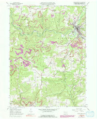
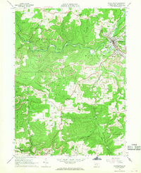
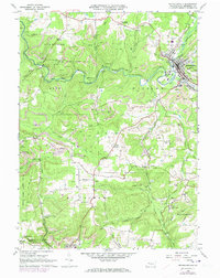
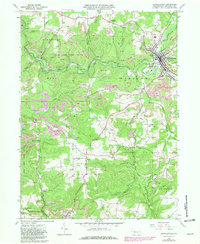
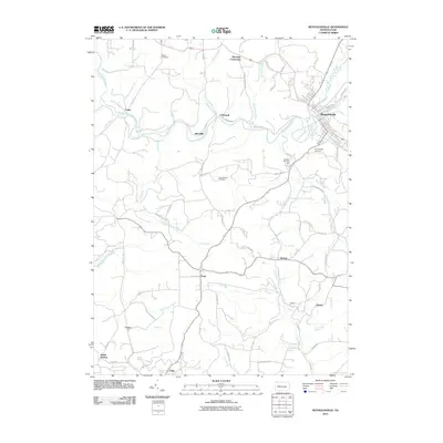
Loading map...1966 Map of Reynoldsville
USGS Topo · Published 1991About this map
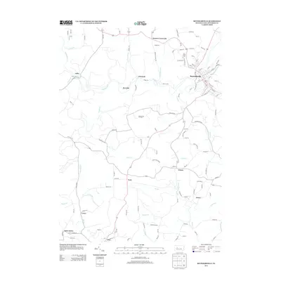
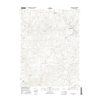
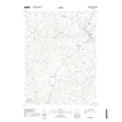
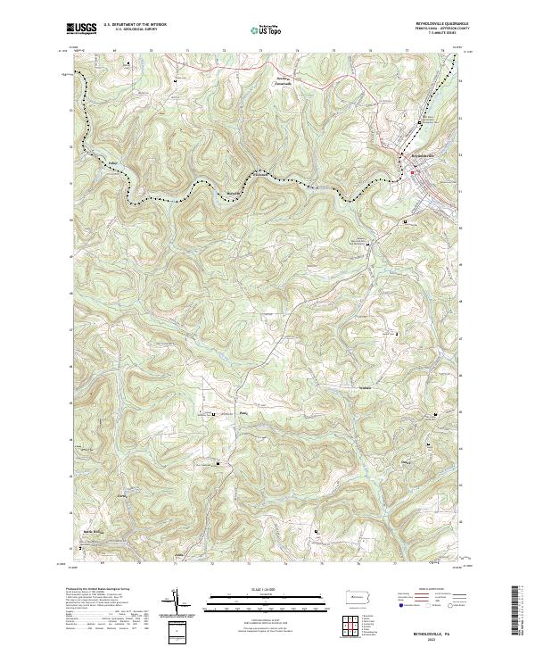
Reynoldsville occupies the valley floor of Sandy Lick Creek, serving as the primary hub for the surrounding mining and agricultural communities. This 1966 era terrain is marked by an extensive network of Gas Wells and Strip Mines that trace the ridgelines above Soldier Run and Little Sandy Creek. The landscape reflects a legacy of extraction, with multiple sites labeled as Tipple and Mine connected by various Old Railroad Grade routes that once fed the region's industrial engine.
Find a feature on this map
56 named features on this map. Tap any name to fly to it.
Don’t see what you’re looking for? This feature index may not catch every label — zoom into the map to look around manually.
Map Details
Date Portrayed1966
Date Published1991
PublisherU.S. Geological Survey
Map TypeTopographic
Scale1:24,000
Physical Dimensions22.1 x 27 inches
Editions of this 1966 Reynoldsville Map
4 editions found
Historical Maps of Reynoldsville Through Time
6 maps found
Featured Locations
- Reynoldsville, PA
- Knox Township, PA
- Pine Creek Township, PA
- Winslow Township, PA
- Anita, McCalmont Township
Source Details
SourceU.S. Geological Survey
CopyrightPublic Domain