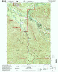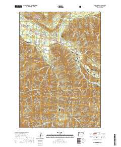
1962 Map of Rhododendron
USGS Topo · Published 1986About this map
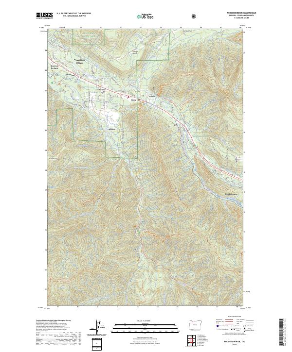
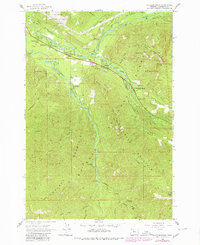
Mt Hood National Forest provides the setting for this mid-century survey of the corridor where the Sandy River and Zigzag River converge. The map documents a cluster of mountain communities and recreation sites along the corridor, including Wemme, Welches, and Rhododendron. Local infrastructure is well-defined, showing the Welches Sch and the Ranger Station near Zigzag. The cartography captures the area as it transitioned from early logging and pioneer routes to a more established residential and seasonal retreat destination. Notable historical landmarks such as the Pioneer Tollgate Campground and the Pioneer Bridle Trail reflect the enduring legacy of the historic Oregon Trail route through this part of Clackamas County. To the south, the terrain rises sharply toward Hunchback Mountain and Salmon Mountain, with several campgrounds like South Fork Campground and Bighorn Campground marking the banks of the Salmon River.
Find a feature on this map
63 named features on this map. Tap any name to fly to it.
Don’t see what you’re looking for? This feature index may not catch every label — zoom into the map to look around manually.
Map Details
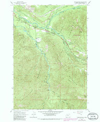
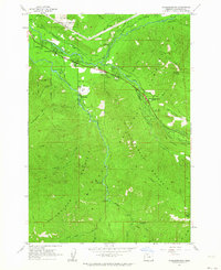
Editions of this 1962 Rhododendron Map
3 editions found
Historical Maps of Wemme Through Time
7 maps found