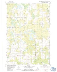
1979 Map of Rib River Lookout Tower
USGS Topo · Published 1991About this map
The Rib River Lookout Tower stands as a focal point in this 1970s landscape of Taylor County, overlooking the heavily forested and marshy divide between the Big Rib River and the headwaters of the Little Black River. This era in Greenwood, Browning, and Goodrich townships shows a rural settlement pattern defined by isolated farmsteads and specialized local infrastructure. Small community landmarks like Greenwood Sch and Cloverdale Sch alongside St Peter Ch anchor the local geography, while a series of named roads such as Joe Martin Rd and Tamarack Drive navigate the wet lowlands. The presence of several Gravel Pits and a prominent Radio Tower suggests a mid-century economy balancing local resource extraction with modern communication needs in this northern Wisconsin woodland.
Find a feature on this map
27 named features on this map. Tap any name to fly to it.
Don’t see what you’re looking for? This feature index may not catch every label — zoom into the map to look around manually.
Map Details
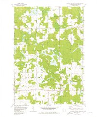
Editions of this 1979 Rib River Lookout Tower Map
2 editions found
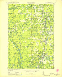
Other maps of this area

1902 · Marathon
USGS Topo · 1:125,000

1944 · Ogema
USGS Topo · 1:48,000

1945 · Rib Lake
USGS Topo · 1:48,000

1947 · Rib Lake
USGS Topo · 1:48,000

1947 · Ogema
USGS Topo · 1:48,000
1949 · Ogema
USGS Topo · 1:48,000

1949 · Rib Lake
USGS Topo · 1:48,000

1951 · Athens
USGS Topo · 1:48,000

1951 · Medford
USGS Topo · 1:48,000

1953 · Rice Lake
USGS Topo · 1:250,000