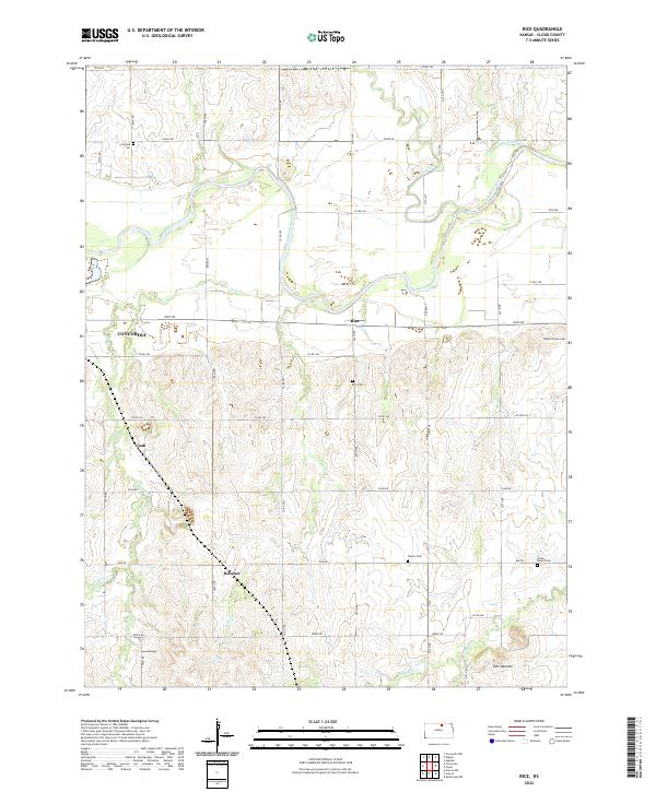
2022 Map of Rice
USGS Topo · Published 2022This historical map portrays the area of Rice in 2022, primarily covering Cloud County. Featuring a scale of 1:24000, this map provides a highly detailed snapshot of the terrain, roads, buildings, counties, and historical landmarks in the Rice region at the time. Published in 2022, it is the sole known edition of this map.
Map Details
Editions of this 2022 Rice Map
This is the sole edition of this map. No revisions or reprints were ever made.
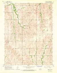
Historical Maps of Rice Through Time
12 maps found
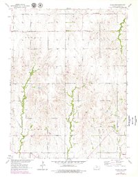
1953 Glasco NE
Cloud County, KS
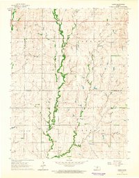
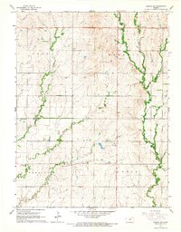
1964 Lamar
Cloud County, KS
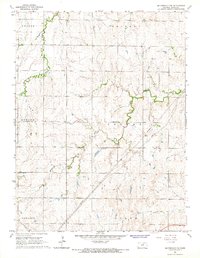
1965 Aurora NW
Cloud County, KS
1965 Aurora SW
Cloud County, KS
1965 Miltonvale NW
Cloud County, KS
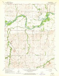
1965 Rice
Cloud County, KS
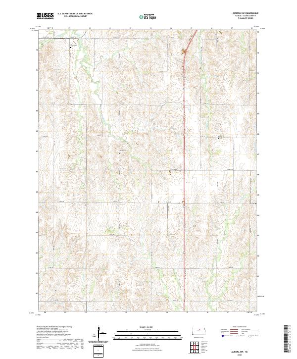
2022 Aurora NW
Cloud County, KS
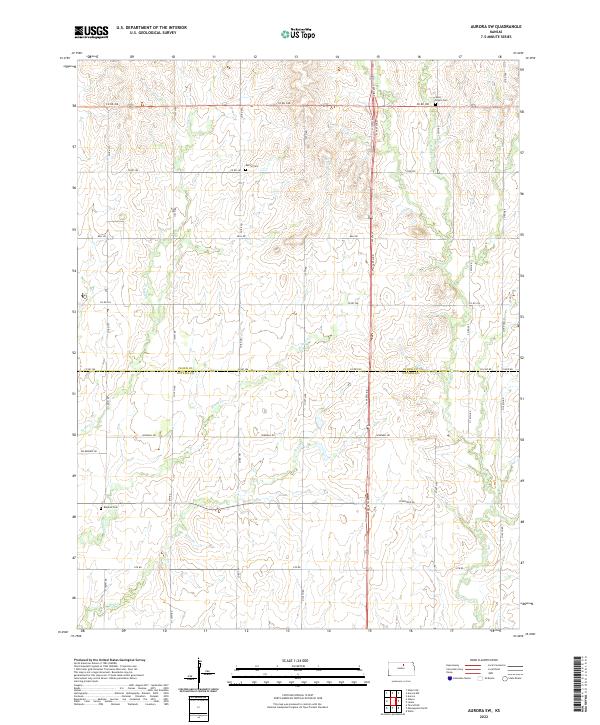
2022 Aurora SW
Cloud County, KS
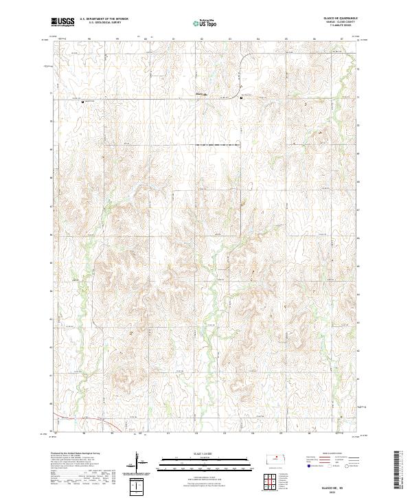
2022 Glasco NE
Cloud County, KS
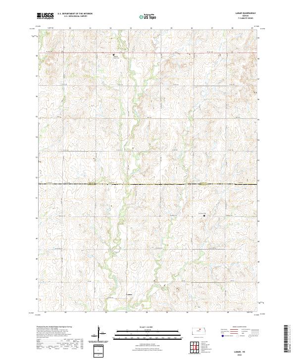
2022 Lamar
Cloud County, KS
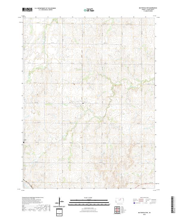
2022 Miltonvale NW
Cloud County, KS
2022 Rice
Cloud County, KS