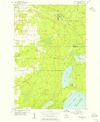
1954 Map of Rice Lake
USGS Topo · Published 1955About this map
Little Traverse Bay defines the southeastern edge of this mid-century Keweenaw Peninsula survey, where the cold waters of Lake Superior meet a landscape shaped by glacial hydrology. The interior is dominated by the sprawling Rice Lake and its smaller neighbor, Little Rice Lake, surrounded by a dense network of drainage including Giles Creek and the southern reaches of the Traverse River.
Find a feature on this map
18 named features on this map. Tap any name to fly to it.
Don’t see what you’re looking for? This feature index may not catch every label — zoom into the map to look around manually.
Map Details
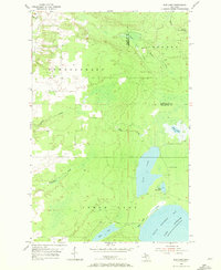
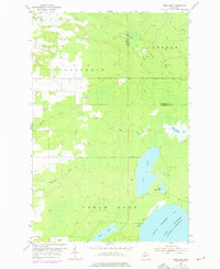
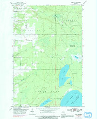
Editions of this 1954 Rice Lake Map
4 editions found
Other maps of this area

1938 · Bruneau Creek
USGS Topo · 1:31,680

1938 · Gay
USGS Topo · 1:31,680

1941 · Ahmeek
USGS Topo · 1:31,680

1941 · Mohawk
USGS Topo · 1:31,680

1946 · Bruneau Creek
USGS Topo · 1:24,000

1946 · Mohawk
USGS Topo · 1:24,000

1946 · Ahmeek
USGS Topo · 1:24,000

1946 · Laurium
USGS Topo · 1:24,000

1947 · Ahmeek
USGS Topo · 1:24,000

1948 · Laurium
USGS Topo · 1:24,000