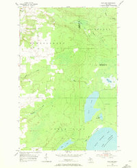
1954 Map of Rice Lake
USGS Topo · Published 1972About this map
Little Traverse Bay and the northern shores of Lake Superior define the rugged coastal character of this 1954 survey. The landscape is heavily influenced by the Copper Range terrain, where numerous small waterways like Silver Creek, Traverse River, and Sawmill Creek drain toward the Great Lake. The interior is dominated by a complex wetland system including Rice Lake, Little Rice Lake, and Deer Lake, situated across the township boundaries of Sherman, Schoolcraft, and Torch Lake. Local history is anchored at Minneyata Camp along the eastern shore of Rice Lake, while place names like Trap Rock hint at the underlying geology that made this region of the Keweenaw Peninsula world-famous for its mineral wealth. The map also records the precise county line between Houghton and Keweenaw counties as it cuts through the dense northern woods.
Find a feature on this map
20 named features on this map. Tap any name to fly to it.
Don’t see what you’re looking for? This feature index may not catch every label — zoom into the map to look around manually.
Map Details
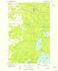
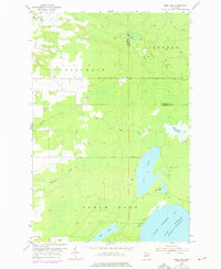
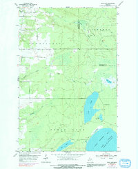
Editions of this 1954 Rice Lake Map
4 editions found
Other maps of this area

1938 · Bruneau Creek
USGS Topo · 1:31,680

1938 · Gay
USGS Topo · 1:31,680

1941 · Ahmeek
USGS Topo · 1:31,680

1941 · Mohawk
USGS Topo · 1:31,680

1946 · Bruneau Creek
USGS Topo · 1:24,000

1946 · Mohawk
USGS Topo · 1:24,000

1946 · Ahmeek
USGS Topo · 1:24,000

1946 · Laurium
USGS Topo · 1:24,000

1947 · Ahmeek
USGS Topo · 1:24,000

1948 · Laurium
USGS Topo · 1:24,000