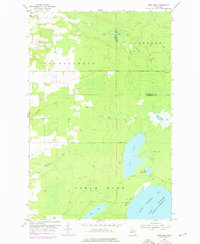
1954 Map of Rice Lake
USGS Topo · Published 1976About this map
Rice Lake and the rugged coastal lowlands of the Keweenaw Peninsula define this 1954 landscape, which was photorevised in 1975 to capture modern changes. The terrain is a network of drainage and timberland, where Silver Creek and the Traverse River wind through the townships of Sherman, Schoolcraft, and Torch Lake. A sense of the region's industrial past is visible in the Old Railroad Grade cutting across the northern reaches, while Minneyata Camp sits tucked near the eastern shore of the main lake.
Find a feature on this map
19 named features on this map. Tap any name to fly to it.
Don’t see what you’re looking for? This feature index may not catch every label — zoom into the map to look around manually.
Map Details
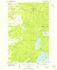
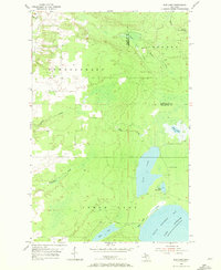
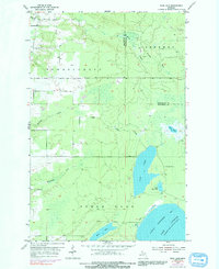
Editions of this 1954 Rice Lake Map
4 editions found
Other maps of this area

1938 · Bruneau Creek
USGS Topo · 1:31,680

1938 · Gay
USGS Topo · 1:31,680

1941 · Ahmeek
USGS Topo · 1:31,680

1941 · Mohawk
USGS Topo · 1:31,680

1946 · Bruneau Creek
USGS Topo · 1:24,000

1946 · Mohawk
USGS Topo · 1:24,000

1946 · Ahmeek
USGS Topo · 1:24,000

1946 · Laurium
USGS Topo · 1:24,000

1947 · Ahmeek
USGS Topo · 1:24,000

1948 · Laurium
USGS Topo · 1:24,000