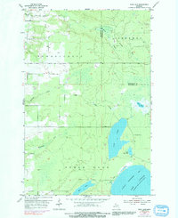
1954 Map of Rice Lake
USGS Topo · Published 1992About this map
Rice Lake and the surrounding wilderness of the Keweenaw Peninsula are documented in this mid-century survey, showcasing a landscape defined by its intricate hydrology and timber-rich history. The interior terrain is drained by several named waterways, including Sawmill Creek, Giles Creek, and McCallum Creek, which navigate the township divisions of Schoolcraft, Sherman, and Torch Lake. The presence of Minneyata Camp on the eastern shore of Rice Lake provides a rare point of human habitation in this largely undeveloped area, while Trap Rock in the northwest corner hints at the region's volcanic geological foundations. To the southeast, the map captures the transition to the Great Lakes shoreline at Little Traverse Bay on Lake Superior, where the Traverse River meets the open water. This 1954 data, later photo-inspected with 1975 revisions, preserves the mid-century character of these Houghton and Keweenaw County borderlands.
Find a feature on this map
19 named features on this map. Tap any name to fly to it.
Don’t see what you’re looking for? This feature index may not catch every label — zoom into the map to look around manually.
Map Details
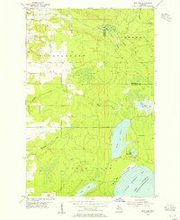
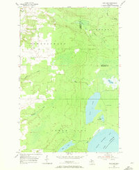
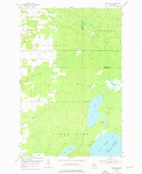
Editions of this 1954 Rice Lake Map
4 editions found
Other maps of this area

1938 · Bruneau Creek
USGS Topo · 1:31,680

1938 · Gay
USGS Topo · 1:31,680

1941 · Ahmeek
USGS Topo · 1:31,680

1941 · Mohawk
USGS Topo · 1:31,680

1946 · Bruneau Creek
USGS Topo · 1:24,000

1946 · Mohawk
USGS Topo · 1:24,000

1946 · Ahmeek
USGS Topo · 1:24,000

1946 · Laurium
USGS Topo · 1:24,000

1947 · Ahmeek
USGS Topo · 1:24,000

1948 · Laurium
USGS Topo · 1:24,000