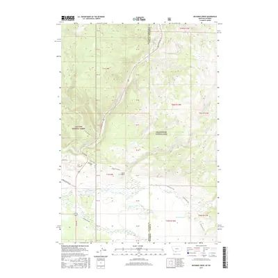
2017 Map of Richards Creek
USGS Topo · Published 2017About this map
Yellowstone National Park and Gallatin National Forest converge in this high-altitude landscape where the borders of Montana and Wyoming meet. The terrain is defined by a dense network of mountain waterways, including Richards Creek, Duck Cr, and Grayling Cr, which flow through the forested basins of the Gallatin Range. A small cultural footprint remains in the form of the Fir Ridge Cem near the junction of Gallatin Rd and Aspen Loop.
Find a feature on this map
28 named features on this map. Tap any name to fly to it.
Don’t see what you’re looking for? This feature index may not catch every label — zoom into the map to look around manually.
Map Details
Editions of this 2017 Richards Creek Map
This is the sole edition of this map. No revisions or reprints were ever made.
Other maps of this area

1885 · Gallatin
USGS Topo · 1:125,000

1885 · Gallatin
USGS Topo · 1:125,000

1901 · Gallatin
USGS Topo · 1:125,000

1908 · Gallatin
USGS Topo · 1:125,000

1911 · Gallatin
USGS Topo · 1:125,000

1955 · Ashton
USGS Topo · 1:250,000

1958 · Ashton
USGS Topo · 1:250,000

1958 · Madison Junction
USGS Topo · 1:62,500

1958 · Mount Holmes
USGS Topo · 1:62,500

1958 · West Yellowstone
USGS Topo · 1:62,500